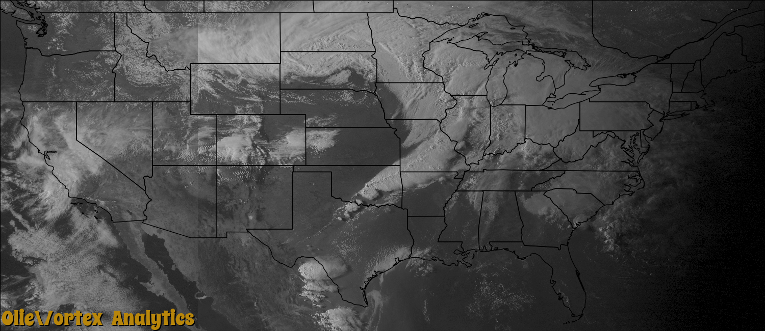
Visible Satellite
GeoTIFF files
These files can be viewed in most image viewers. Import into Google Earth Pro (the desktop version) to view as a layer on a map.
| Time | Download | Preview |
|---|---|---|
| 18:15Z | conus_goes_vis4km_1815.tif | |
| 18:45Z | conus_goes_vis4km_1845.tif | |
| 19:45Z | conus_goes_vis4km_1945.tif | |
| 20:15Z | conus_goes_vis4km_2015.tif | |
| 20:45Z | conus_goes_vis4km_2045.tif | |
| 21:15Z | conus_goes_vis4km_2115.tif | |
| 21:45Z | conus_goes_vis4km_2145.tif | |
| 22:15Z | conus_goes_vis4km_2215.tif | |
| 22:45Z | conus_goes_vis4km_2245.tif | |
| 23:15Z | conus_goes_vis4km_2315.tif |
|
| 23:45Z | conus_goes_vis4km_2345.tif |
GeoTiff files provided by the Iowa Environmental Mesonet of Iowa State University.
Generally only one satellite image per day is processed here. To create
additional preview images for this day, click the button below.
Create Previews