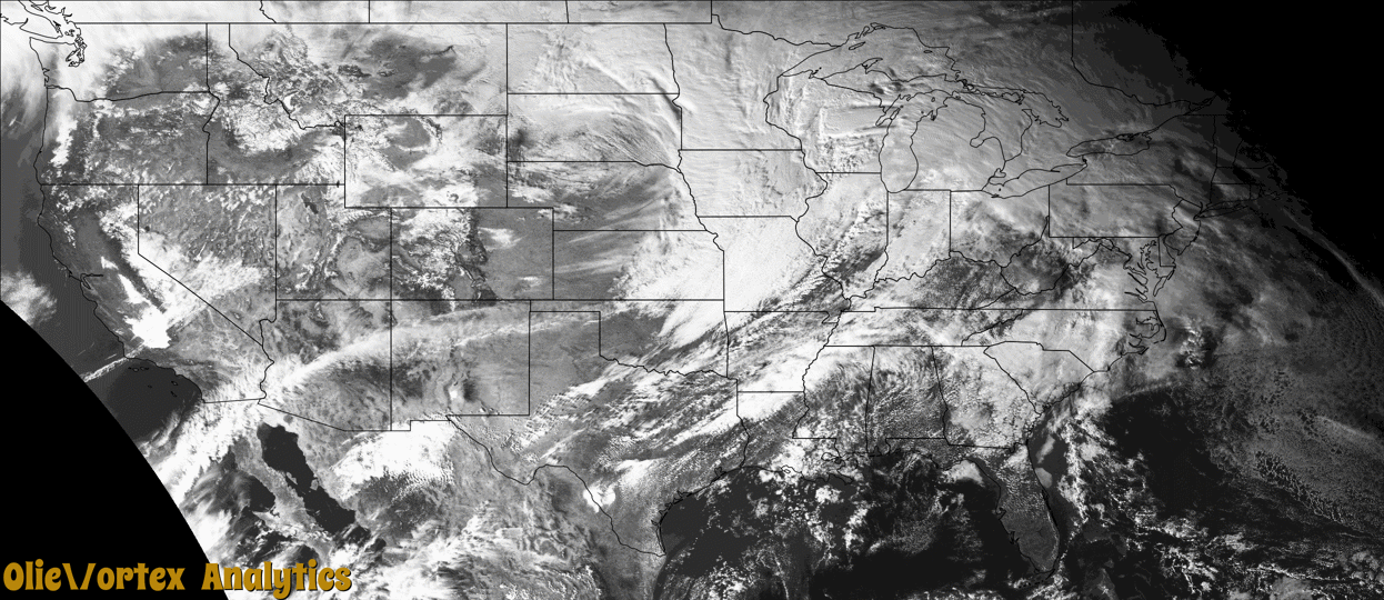
Tornado Reports
Sort by Time Sort by Rating Sort by State Sort by County| Time | Rating | Radar | State | County | Location | Narrative |
|---|---|---|---|---|---|---|
| 15:27Z | EF1 | KILX | IL | Tazewell | 3 Ssw Groveland | An EF1 tornado with wind speeds up to 98 mph touched down along Allentown road about 3 miles east of Pekin High School and traveled about 1.75 miles along that road. It |
| 20:53Z | EF1 | KLOT | IL | Livingston | 1 Wnw Pontiac | An NWS damage survey confirmed an EF-1 tornado with estimated peak winds of 90 MPH... path length of 0.95 miles... and maximum width of 125 yards impacted a portion of |
| 20:59Z | EF2 | KILX | IL | Macon | 1 Wnw Blue Mound | The EF-2 tornado touched down in far eastern Christian County where a spotter captured video of the tornado heading toward and crossing IL Route 48. The tornado remaine |
| 20:59Z | EFU | KILX | IL | Christian | 1 Wnw Blue Mound | Storm chaser video shows a tornado approaching the Christian-Macon County line from the west... kicking up dirt and corn stubble as it does so. The tornado crossed the |
| 21:15Z | EFU | KILX | IL | Macon | 3 E Elwin | Significant structural damage to home by a tornado. |
| 21:24Z | EF1 | KILX | IL | Mclean | 3 Ese Saybrook | An EF-1 tornado touched down about 3 miles east-southeast of Saybrook and destroyed a large outbuilding throwing the debris to the E- NE. The tornado appears to have di |
| 21:31Z | EF0 | KLOT | IL | Iroquois | 6 Ese Stelle | An NWS damage survey confirmed an EF-0 tornado with estimated peak winds of 80 MPH... path length of 2.64 miles... and maximum width of 100 yards impacted rural areas w |
| 21:32Z | EFU | KILX | IL | Ford | 2 S Gibson City | Based on eyewitness accounts and an assessment of damage photos provided to the NWS by the Ford County EMA and local broadcast media... it has been confirmed that a bri |
| 21:40Z | EF1 | KLOT | IL | Iroquois | 2 E Clifton | An NWS damage survey confirmed an EF-1 tornado with estimated peak winds of 95 MPH... path length of 9.53 miles... and maximum width of 150 yards impacted rural areas b |
| 21:53Z | EFU | KLOT | IL | Iroquois | 2 Wsw Martinton | Video footage and photos taken by storm spotters and storm chasers show that a funnel cloud was intermittently in contact with the ground as it tracked across open farm |
| 22:45Z | EFU | KVWX | IL | Edgar | 1 Se Redmon | Brief touchdown east of Redmon. Public reported damage to an outbuilding. |
| 00:18Z | EF1 | KVWX | IN | Greene | 1 Wsw Linton | *** 1 INJ *** An EF-1 tornado with peak winds of 100 mph and a path length of 1.12 miles began at this location. The path width maximum was 75 yards. |
| 00:36Z | EF1 | KVWX | IN | Gibson | 3 Ene Cynthiana | EF1 tornado began about 5 miles west of Haubstadt and tracked along state route 68 into the southern end of Haubstadt. Several barns were damaged... including large por |
| 02:22Z | EF0 | KLVX | IN | Harrison | 2 Nw Central | Brief EF0 tornado with peak winds around 75 mph touched down near the intersection of Lickford Bridge and Hill Grove Rds northwest of Central... IN. Most noticeable dam |
Storm reports are derived from "The Storm Events Database" (National Centers for Environmental Information) and/or "Past Storm Reports" (Storm Prediction Center).