Tornado Reports
Sort by Time Sort by Rating Sort by State Sort by County| Time | Rating | Radar | State | County | Location | Narrative |
|---|---|---|---|---|---|---|
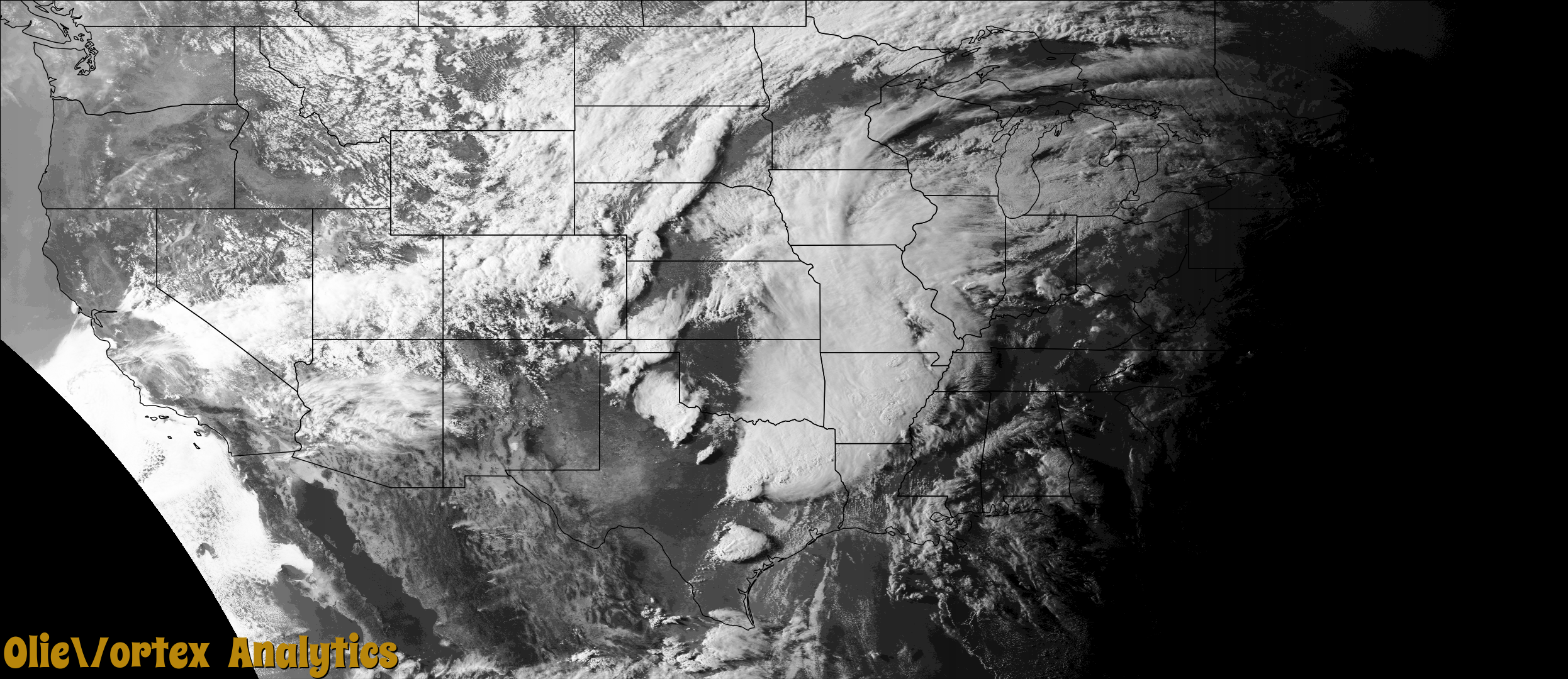
| 14:37Z | EF0 | KFWS | TX | Denton | Parvin | Picture and video evidence confirmed a brief tornado west of Celina. Minor tree damage was found along County Road 9. Maximum estimated winds were 70 mph. The tornado started in Denton County but crossed into Collin County briefly before dissipating. |
| 14:37Z | EF0 | KFWS | TX | Collin | Celina | Picture and video evidence confirmed a brief tornado west of Celina. Minor tree damage was found along County Road 9. Maximum estimated winds were 70 mph. The tornado started in Denton County but crossed into Collin County briefly before dissipating. |
| 15:59Z | EF0 | KSRX | TX | Lamar | Belk | A short, brief, EF-0 tornado damaged one home and some tree branches along Country Road 35650 in northwestern Lamar County, west of Pat Mayse Lake. The wind of the tornado caught the west edge of the roof and peeled off much of the metal covering and some of the decking. A HVAC unit on the same side of the house was also affected, and tree damage was noted just east of the property near the intersection of CR 35650 and CR 35610. Maximum estimated winds were 80 mph. |
| 17:34Z | EFU | KSRX | OK | Haskell | Stigler | A storm chaser with the broadcast media reported a brief tornado on live television. No known damage occurred, thus it was rated EF-unknown. |
| 18:28Z | EFU | KFWS | TX | Hill | Mertens | Video of a brief tornado near Mertens that appeared to be over a field. No damage was reported, and this tornado was rated EF-Unknown. |
| 18:55Z | EF0 | KSRX | OK | Sequoyah | Akins | A storm chaser with broadcast media reported a brief tornado. The tornado snapped large tree limbs and damaged the roof of an outbuilding. Based on this damage, maximum estimated wind in the tornado was 75 to 80 mph. |
| 19:23Z | EF1 | KSRX | AR | Sevier | Lockesburg | An EF-1 tornado with estimated maximum winds near 95 mph touched down just south of of Highway 24 about 2 miles west of Lockesburg, where it caused significant damage to a small shed. The tornado then moved northeast across Highway 24, snapping and uprooting trees and just missing a home on the north side of the highway. A trampoline and small playground near the home were blown about 50 yards directly to the west from their original location. Although the road network became sparse beyond this point, drone footage indicated that the damage path continued from the home to Wildwood and Hilltop Roads where a number of trees were snapped and uprooted. The tornado did cause significant damage to three chicken coops located just north of Hilltop Road, while also snapping/uprooting additional trees in this area as well. It then tracked across Shady Lane just to the north of Hilltop Road and uprooted a very large tree, with another tree uprooted and having fallen onto a small home on the west side of Shady Lane. The tornado continued to move northeast over North Park Avenue, Elm Drive, and Highway 71 north of Lockesburg. The damage path became more sparse as the tornado crossed Montgomery Lane just east of Highway 71, with a few other small trees downed on Provo Road just east of Big Timber Lane before the tornado lifted. |
| 20:33Z | EFU | KLBB | TX | Hockley | Roundup | Local broadcast media relayed a report of a brief tornado south of Anton that remained over open fields. |
| 23:30Z | EF0 | KILX | IL | Fayette | Carlyle Res North | A brief, weak tornado touched down between Carlyle Lake and Pope near 6:30 PM and moved northeast. Along its track, the tornado removed several shingles from a home and caused tree damage. The tornado lifted near County Road 700 at approximately 6:38 PM. The tornado was rated EF-0 with a path length of 5.01 miles and a maximum path width of 50 yards. |
| 23:48Z | EF2 | KILX | IL | Fayette | Shobonier | Shortly before 7pm, the tornado formed just south of County Road 750 in Fayette County, southeast of Shobonier, damaging trees and structures at a farm. The tornado tracked northeastward through fields and pockets of trees before impacting farms along County Rd 1100. Shortly after this point, the tornado reached its maximum surveyed strength, where it leveled an outbuilding near the intersection of County Rd 1100 and E 900 Ave. The tornado continued northeastward, producing mainly tree damage and minor structural damage before dissipating shortly after crossing County Rd 1300 north of Augsburg. The tornado was rated EF-2 with a path length of 4.33 miles and a maximum path width of 150 yards. |
| 01:14Z | EFU | KVWX | IL | Effingham | Effingham | Video evidence showed a tornado touched down in an open field just west of Highway 45 and south of County Road 1680 North at 8:14 PM CDT. The tornado tracked northeastward, crossing Highway 45 and I-57 before dissipating just east of I-57 and south of East 1800th Avenue at 8:16 PM CDT. No damage was observed. |
| 02:03Z | EFU | KVWX | IL | Coles | Campbell | Video evidence showed a tornado touched down just west of North County Road 1270 East and south of East County Road 210 North about 2 miles north of Janesville at 9:03 PM CDT. The tornado tracked northeastward and quickly dissipated at 9:04 PM CDT. No damage was observed. |
Storm reports are derived from "The Storm Events Database" (National Centers for Environmental Information) and/or "Past Storm Reports" (Storm Prediction Center).