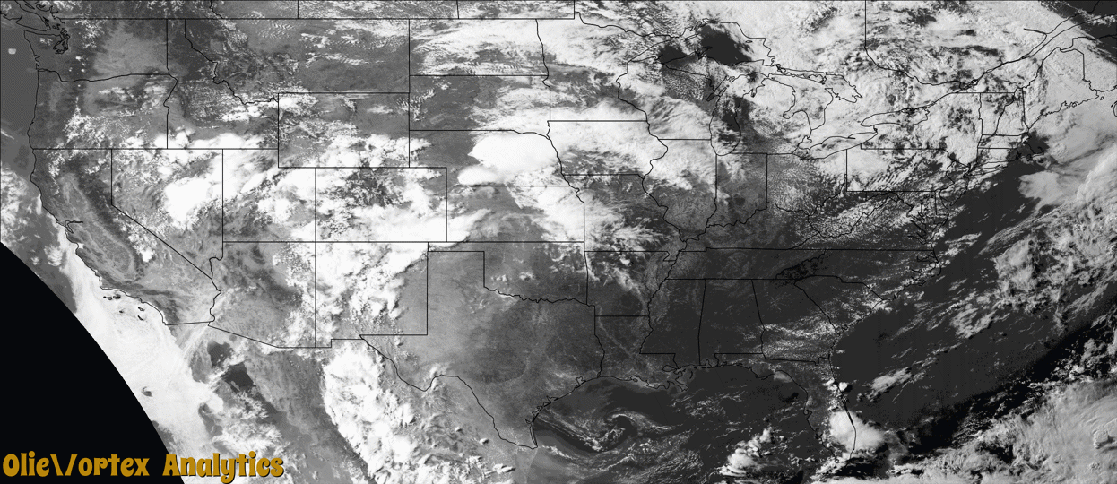
Tornado Reports
Sort by Time Sort by Rating Sort by State Sort by County| Time | Rating | Radar | State | County | Location | Narrative |
|---|---|---|---|---|---|---|
| 20:31Z | EF0 | KFSX | AZ | Navajo | Holbrook | A video was shared of a landspout just west of Holbrook. |
| 22:19Z | EF2 | KLNX | NE | Custer | Arnold | Tornado touched down in the vicinity of Eureka Valley road and 15 road and traveled to the southeast for approximately 2 miles. Where the initial touchdown occurred, numerous power poles were snapped and a twisted a center pivot irrigation system occurred. Several large pieces of aluminum irrigation pipe were lofted and deposited. The tornado tracked east southeast, uprooting and damaging large trees near Dry Creek and Road 420. |
Storm reports are derived from "The Storm Events Database" (National Centers for Environmental Information) and/or "Past Storm Reports" (Storm Prediction Center).