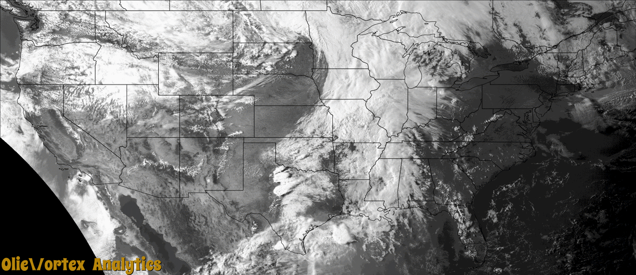
Tornado Reports
Sort by Time Sort by Rating Sort by State Sort by County| Time | Rating | Radar | State | County | Location | Narrative |
|---|---|---|---|---|---|---|
| 15:09Z | EF1 | KPOE | LA | Sabine | Ft Jessup | A weak EF-1 tornado with estimated maximum winds near 88 mph touched down near Rocky Spring Road northeast of Many. The tornado continued east, eventually crossing Rocky Mount Road and Cedar Grove Road before ending along the Sabine/Natchitoches Parish line. The tornado largely damaged trees along its path, producing EF-1 damage where several large trees were uprooted and several tree trunks were snapped. The tornado track just over 5 miles with a width of 325 yards. |
| 16:32Z | EFU | KLCH | LA | Jefferson Davis | Welsh Arpt | A brief tornado touched down in an empty field southwest of Welsh along Leblanc Road. The report was relayed by a spotter. |
| 18:40Z | EF1 | KSGF | MO | Jasper | (jln)joplin Muni Arp | NWS survey confirmed an EF-1 tornado with maximum wind speeds of 90 mph uprooted and or damaged numerous trees, including one that caused significant damage to a home as it fell. Four additional homes had roof and or siding damage. |
| 20:58Z | EF0 | KAMX | PR | Arecibo | Arecibo | At approximately 4:58 PM on May 2, 2024, a waterspout initially |formed over the local Atlantic waters and proceeded to track |ESEward, making landfall over Albacoa Beach in Arecibo. As the |waterspout transitioned into a weak tornado, it encountered an |expanse of mangrove trees, resulting in the downing of numerous |small to medium-sized branches along its path. Additionally, the |tornado's winds affected street signs and canopy tents, which were |blown away by the force of the storm. |
| 22:53Z | EF2 | KSJT | TX | Runnels | Ballinger | The tornado damaged trees off County Road 121 and County Road 122|before damaging several structures at a private residence off |County Road 123. The tornado moved a one story house off of its|foundation and severely damaged a metal barn structure next to the|home. The tornado damaged additional trees west of County Road 123. |In addition, the tornado damaged wooden utility poles along County |Road 123. The estimated peak wind of the tornado was 115 mph. |
| 23:29Z | EFU | KDYX | TX | Jones | Boyds Chapel | Spotter reported a tornado briefly touched down 5 miles northwest of Anson. Time, length and width of the tornado reported by storm chaser. |
| 23:39Z | EF2 | KSJT | TX | Concho | Concho | The tornado damaged electrical transmission lines on several|metal truss towers. One of the metal truss towers collapsed due|to the tornado increasing in intensity to an EF2. The path length |and width of the tornado was based on radar and photos of the|damage. The estimated peak wind of the tornado was 130 mph. |
| 00:06Z | EF3 | KDYX | TX | Jones | Hawley | The tornado was part of a cyclical supercell moving southeastward|through Jones County just west of US-277. The tornado that |produced damage dropped just north of CR-460 and moved southeast |before causing damage to metal outbuildings on two properties. It |continued southeast then turned to the south-southwest where it |damaged a home and snapped some trees and wooden power poles. It |continued southwestward before completely destroying a home that |was under construction. It also threw several trucks and a trailer|about 100 yards before crossing CR-458. Continuing southwestward,|the tornado completely destroyed another house and injured a |family of four. The tornado made one more turn southeastward where|it hit a small neighborhood. In the neighborhood, it caused roof |damage to a few homes and outbuildings. Before exiting the |neighborhood, it took most of the roof off of a house and caused |some of the walls to collapse. It also destroyed a metal garage |and heavily damaged an attached metal outbuilding. The tornado |crossed FM-605 before dissipating shortly thereafter. The estimated |peak wind speed was 165 mph. |
Storm reports are derived from "The Storm Events Database" (National Centers for Environmental Information) and/or "Past Storm Reports" (Storm Prediction Center).