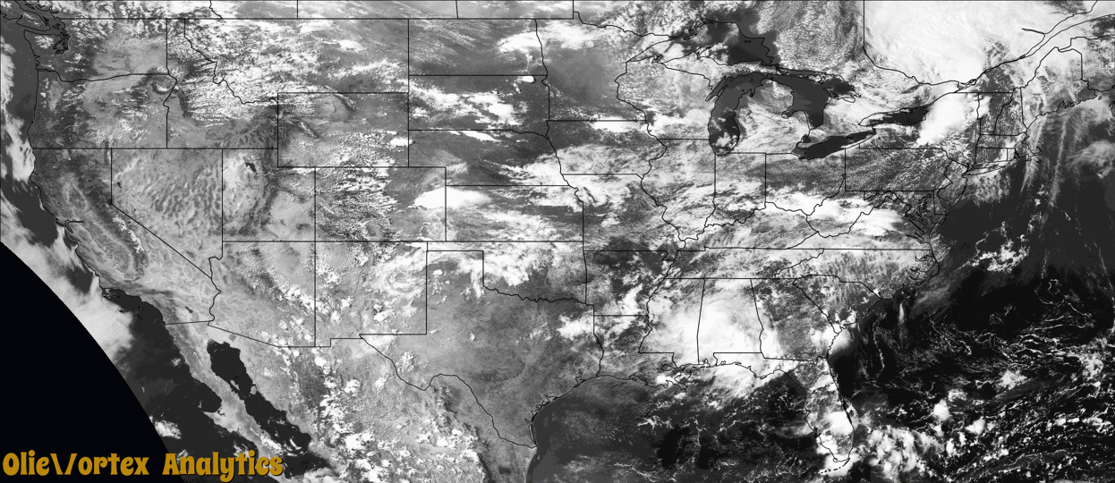
Tornado Reports
Sort by Time Sort by Rating Sort by State Sort by County| Time | Rating | Radar | State | County | Location | Narrative |
|---|---|---|---|---|---|---|
| 20:00Z | EFU | KPUX | CO | Lincoln | Hugo | A tornado touched down briefly in open country. No damage was observed. |
| 22:04Z | EF0 | KCXX | VT | Rutland | Benson Lndg | Numerous trees and power lines were downed in multiple directions near Benson and along it's path. Confirmed peak winds of 85 mph. |
| 23:13Z | EF0 | KMKX | WI | Rock | Emerald Grove | Minimal damage from a tornado that mainly stayed over farmland, but did hit a couple trees. Tornado was filmed by a storm chaser via a drone. |
| 01:16Z | EF0 | KPUX | CO | Baca | (kspd)springfield Awos | Brief touchdown - only 30 seconds. |
| 01:44Z | EF0 | KAMA | CO | Baca | Campo | Brief touchdown - lasted 20 seconds. |
| 09:03Z | EF1 | KSRX | AR | Sebastian | Huntington | This tornado developed on the northwest side of Mansfield, where trees were damaged. It moved southeast across the west and south sides of town. Trees were uprooted, numerous large tree limbs were snapped throughout town, poles were blown down, and homes were damaged. Trees fell onto several homes, severely damaging them. South of Mansfield, the tornado moved south-southeast uprooting a number of trees along and east of Highway 378, before dissipating on the east side of Lake Spur. Based on this damage, maximum estimated wind in the tornado was 95 to 105 mph. |
Storm reports are derived from "The Storm Events Database" (National Centers for Environmental Information) and/or "Past Storm Reports" (Storm Prediction Center).