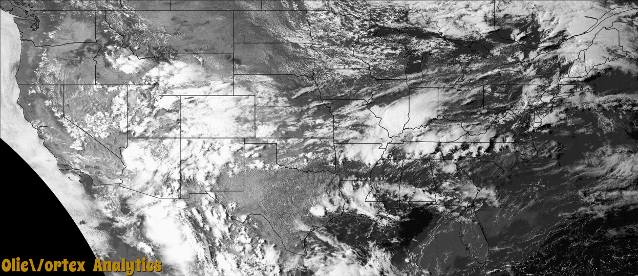
Tornado Reports
Sort by Time Sort by Rating Sort by State Sort by County| Time | Rating | Radar | State | County | Location | Narrative |
|---|---|---|---|---|---|---|
| 14:40Z | EF2 | KBUF | NY | Wyoming | Java Center | A tornado touched down in Wyoming County at approximately 10:40AM EDT in the town of Java just southwest of the intersection of NY Route 78 and Chaffee Rd. The tornado then moved along an east-northeast path near NY Route 78 for approximately 10 miles before dissipating in the western portion of the Town of Gainesville just west of NY Route 19 at about 10:55 AM EDT. The tornado was on the ground for approximately 15 minutes.||The tornado reached a maximum intensity of EF-2, with winds of 115 mph. The maximum path width was about 500 yards. The majority of the EF-2 rated damage was along the first two miles of the tornado path. This was also the portion of the track with the most consistent and continuous damage. In this portion of the track, the tornado did significant damage to a barn. The older portion of the barn saw its concrete block foundation toppled and the structure itself moved about 25 feet. The newer portion of the barn was entirely destroyed. Multiple hard and softwood trees were uprooted or saw their trunks sheared off as the tornado tracked along NY Route 78 until it got to|about Pleasant Valley Road. ||Damage became all EF-1 or lower rated to the east of Pleasant Valley Road through Hermitage. This included a few uprooted softwood trees and some minor wall damage to a structure on Shaw Road. ||As the tornado crossed from the Town of Wethersfield and into the western portion of the Town of Gainesville, damage became much less continuous and likely indicative of a discontinuous path of the tornado. All damage on this eastern extend of the path was minor tree damage and rated EF-0 before damage ceased about one mile west|of NY Route 19. |
| 22:35Z | EF0 | KENX | CT | Litchfield | South Norfolk | An EF-0 tornado touched down about 2 miles south-southwest of Dennis Hill State Park along Smith Road and traveled northeastward for about 5 miles before ending about 2 miles southwest of Colebrook along Pinney Street. Damage was sporadic and consisted mostly of downed hardwood trees and broken tree branches. A couple of barns along Pinney Street lost some siding and one of the barns had a door torn off. There were many eye witnesses which provided both video and pictures of the tornado. |
| 03:35Z | EF1 | KINX | OK | Tulsa | Broken Arrow | This is the first segment of a two segment tornado. This tornado developed just east of Lynn Lane and south of E Kenosha Street, where a few trees were uprooted and large tree limbs were snapped. The roofs of homes were damaged and an outbuilding was destroyed in the path, before the tornado moved into Wagoner County near the intersection of County Line Road and E Kenosha Street. Based on this damage, estimated wind in this segment of the tornado was 90 to 95 mph. |
| 03:37Z | EF1 | KINX | OK | Wagoner | Broken Arrow | This is the second segment of a two segment tornado. This tornado moved into Wagoner County near the intersection of S 193rd East Ave and E Kenosha Street. It moved east-northeast along and then north of E Kenosha Street, before dissipating just west of S 241st East Ave. In Wagoner County, trees were uprooted, large tree limbs were snapped, and the roofs of homes were damaged. Based on this damage, maximum estimated wind in this segment of the tornado was 90 to 95 mph. |
Storm reports are derived from "The Storm Events Database" (National Centers for Environmental Information) and/or "Past Storm Reports" (Storm Prediction Center).