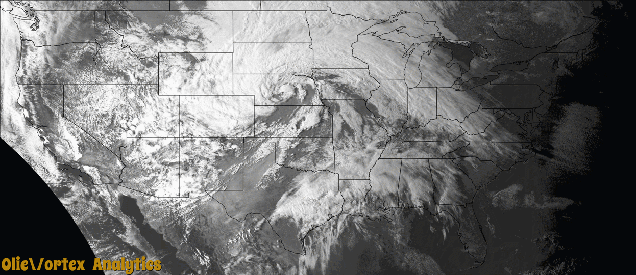
Tornado Reports
Sort by Time Sort by Rating Sort by State Sort by County| Time | Rating | Radar | State | County | Location | Narrative |
|---|---|---|---|---|---|---|
| 00:56Z | EF1 | KTWX | KS | Jefferson | Valley Falls | National Weather Service surveyed the area and found a intermittent narrow damage path to outbuildings and a few structures. Maximum winds estimated to around 97 mph based on the damage indicators and degree of damage. This was an EF1 tornado. No injuries occurred due to this tornado. |
| 01:54Z | EF1 | KEAX | MO | Buchanan | St Joseph | A QLCS mesovortex tornado formed along a progressive line of storms that moved through the St. Joseph area. EF-1 damage occurred at a residence on the northeast side of town. |
| 09:04Z | EF3 | KSRX | AR | Washington | Johnson | This tornado developed south of Joyce Boulevard and east of Steele Boulevard, southwest of the Northwest Arkansas Mall. The tornado damaged businesses, blew down trees, rolled a van, and then moved across the western portion of the mall. As it moved north-northeast from near the mall, the tornado blew down a cellular phone tower, and destroyed a building near Main Drive. As it continued north-northeast, it damaged numerous homes and businesses, and blew down numerous trees. Major portions of the roofs of several homes were blown off on Pagosa Street, and a vehicle was flipped over in a driveway. The tornado then destroyed the gymnasium at George Elementary School, which was a metal building structure. A home just north of the gym was severely damaged, and a couple nearby large, wooden electrical poles were snapped. A large, metal building structure was destroyed as the tornado neared Highway 412, with several other businesses nearby severely damaged. A hangar was destroyed and other buildings were damaged on the east side of the Springdale Airport. Minor damage to trees and to the roofs of homes continued until the tornado neared Emma Avenue, where it appeared to dissipate. Based on this damage, maximum estimated wind in the tornado was 135 to 145 mph. Debris from the tornado was carried into Benton County. This tornado injured seven people, and damaged or destroyed at least 135 homes, and damaged or destroyed at least 40 businesses. |
| 09:34Z | EF1 | KFWS | TX | Rockwall | Chisholm | A brief tornado, likely embedded within straight line winds impacted a few homes on Candice Circle to the east of McLendon-Chisholm. The tornado began near Bluebonnet Dr where a few trees were damaged. On Candice Circle, the porte-cochere of one home collapsed, and the attached roof broke off the garage. Poles were also bent around a basketball court. Next door, the tornado caused significant damage to the top floor attic of the house, moved several trailers, and destroyed a shed. The tornado continued a short distance down the road and likely lifted in the field northeast of the homes. Maximum estimated winds were 100 mph. |
| 09:39Z | EF0 | KSRX | OK | Pittsburg | Adamson | This tornado damaged several homes, rolled multiple trailers, damaged outbuildings, damaged a mobile home, uprooted a large hardwood tree, and snapped large tree limbs. Based on this damage, maximum estimated wind in the tornado was 80 to 85 mph. |
| 11:25Z | EF1 | KSHV | TX | Red River | Bagwell | An EF-1 tornado, with estimated maximum winds near 95 mph, touched down off of FM 2573 just southeast of the Bagwell community. There, it ripped metal panels off of a barn and topped a softwood tree. Metal pieces of the barn and tree branches were thrown as far as 300 yards. The tornado continued to down trees along two properties just off of County Road 2110. Another barn's roof was damaged and shingle damage was observed to a single family home before it crossed County Road 2110. The tornado downed a few more trees north of County Road 2110 before lifting north of the roadway. It is estimated that around 20 hardwood and softwood trees were downed from this tornado. |
Storm reports are derived from "The Storm Events Database" (National Centers for Environmental Information) and/or "Past Storm Reports" (Storm Prediction Center).