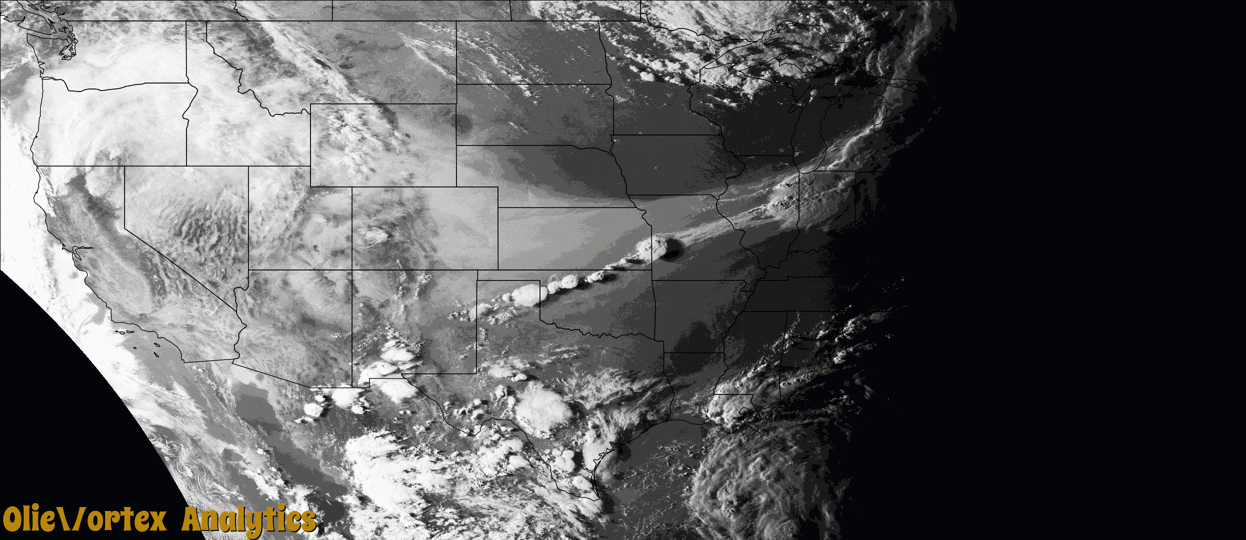
Tornado Reports
Sort by Time Sort by Rating Sort by State Sort by County| Time | Rating | Radar | State | County | Location | Narrative |
|---|---|---|---|---|---|---|
| 23:45Z | EF1 | KIWX | MI | Hillsdale | Bankers | A weak tornado developed west of the intersection of S Bunn Road and Cole/Bankers Road, and moved quickly east along the north side of the road causing areas of significant tree damage east to Cambria Road. Two 1000 lb round hay bales were picked up from a field south of Bankers Road and thrown into a ditch and yard on the north side of the road. Several power poles were snapped in the area. It appears the tornado briefly lifted after crossing Cambria Road, but touched down again on the east side of S Hillsdale Road where several outbuildings and a silo were destroyed. The tornado intensified further as it moved through the Hillsdale Golf and Country Club where considerable, widespread tree damage, including several uprooted trees, occurred. The tornado quickly weakened as it moved across Baw Beese Lake with a few tree branches damaged along Oakwood Drive. No further damage was observed past this point. Maximum winds estimated at around 100 mph (EF-1) with a maximum width of around 450 yards. |
Storm reports are derived from "The Storm Events Database" (National Centers for Environmental Information) and/or "Past Storm Reports" (Storm Prediction Center).