Tornado Reports
Sort by Time Sort by Rating Sort by State Sort by County| Time | Rating | Radar | State | County | Location | Narrative |
|---|---|---|---|---|---|---|
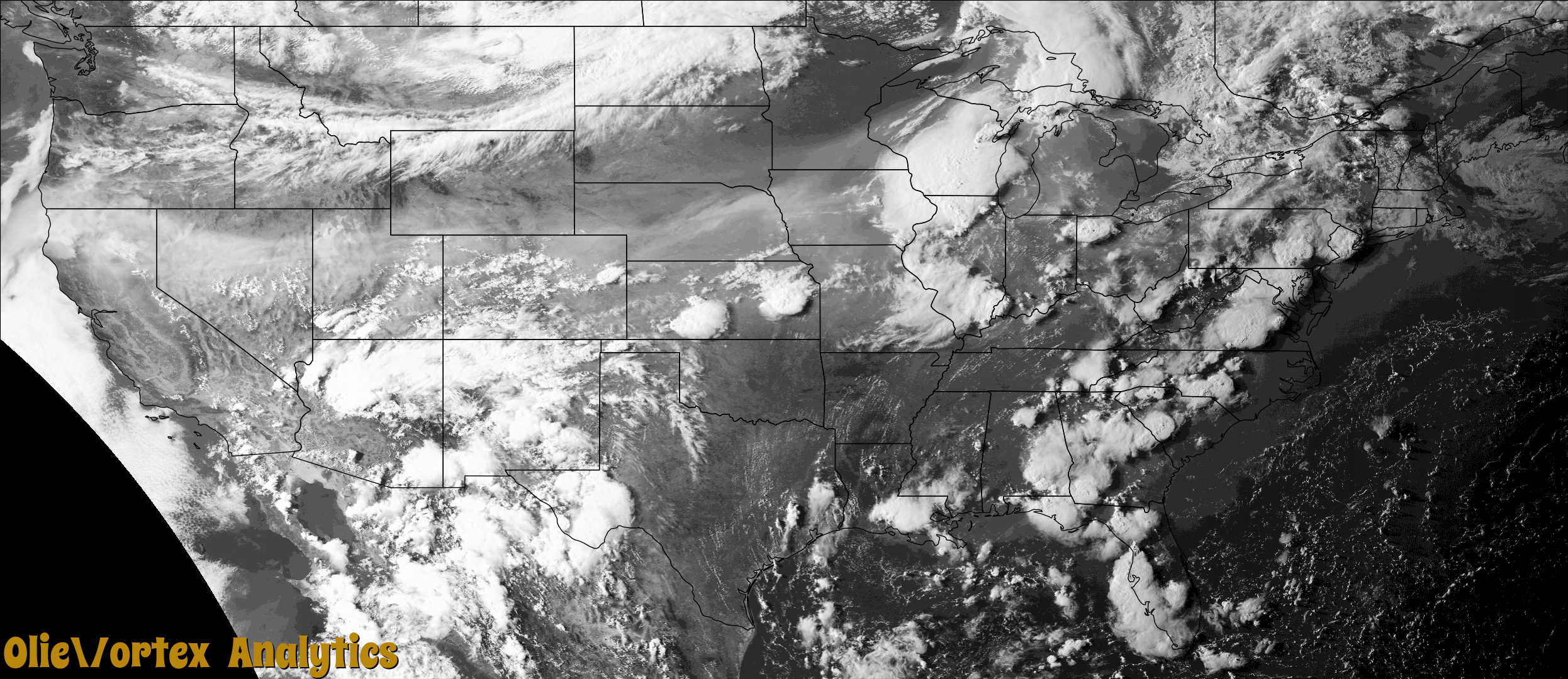
| 21:43Z | EF0 | KDDC | KS | Hodgeman | Jetmore Muni Arpt | This landspout tornado was observed from start to finish was did not damage any object other than kicking up dirt and field plant material. |
| 21:50Z | EF0 | KTBW | FL | Pasco | Odessa | Multiple pictures and videos shared by public via social and broadcast media of brief tornado between Odessa and New Port Richey. A pool enclosure attached to a home near Odessa was collapsed by the tornado. |
| 22:58Z | EF1 | KGRB | WI | Outagamie | Stinson | A tornado formed at 5:58 pm CDT northwest of Black Creek in Outagamie County and continued east southeast before dissipating at 6:11 pm CDT. The tornado produced damage to trees (DI 28, DOD 2,3,4) and to the siding and roof to a house (DI 2, DOD 2). Total path length is estimated to be 2.05 miles long, with a width of 40 yards. Peak wind estimated to be around 90 mph. |
| 23:33Z | EFU | KLOT | IL | De Kalb | Esmond | A brief tornado touched down in a field north of Esmond. No damage occurred with this tornado, which was determined by using high resolution satellite data. |
Storm reports are derived from "The Storm Events Database" (National Centers for Environmental Information) and/or "Past Storm Reports" (Storm Prediction Center).