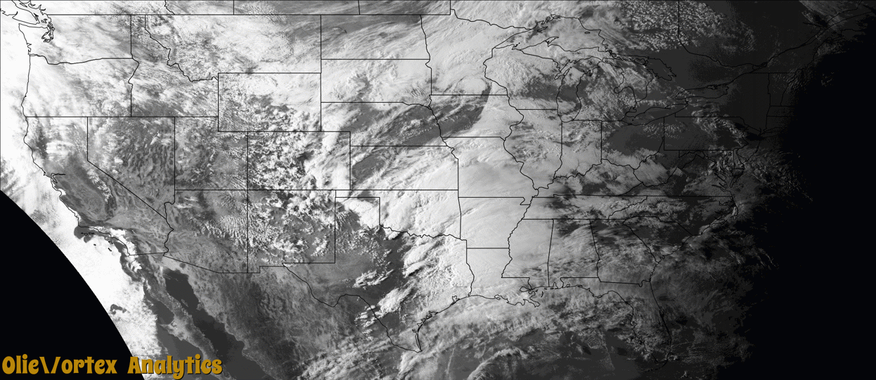
Tornado Reports
Sort by Time Sort by Rating Sort by State Sort by County| Time | Rating | Radar | State | County | Location | Narrative |
|---|---|---|---|---|---|---|
| 22:22Z | EFU | KAMA | TX | Hall | Turkey | The fire department in Turkey observed a tornado over open land just north of Turkey. Additionally, a local storm chaser viewed a tornado on his game camera while hunting. The only damage noted was minor damage to trees and deer blinds. |
| 22:43Z | EFU | KFDR | TX | Hardeman | Copper Breaks St Pk | Numerous storm chasers witnessed a tornado in extreme southern Hardeman County south of Quanah that developed close to State Highway 6 and moved east-southeast. The only known damage was to a cattle feeder in this rural area. The tornado path is estimated. |
| 22:54Z | EFU | KFDR | TX | Hardeman | Copper Breaks St Pk | Storm chasers observed a relatively brief tornado to the southwest of Medicine Mound. This tornado occurred in breaks just north of the Pease River and no known damage occurred. The tornado location is estimated. |
| 23:08Z | EFU | KFDR | TX | Hardeman | Medicine Mound | Storm chasers observed a tornado develop at about 6:10 PM. A second tornado developed at about 6:12 PM with both observed simultaneously until this tornado dissipated at 6:14 PM. The tornado produced no known damage in the breaks north of the Pease River, and the path was estimated. |
| 23:10Z | EFU | KFDR | TX | Hardeman | Medicine Mound | The second of the twin tornadoes moved southeast across southeastern Hardeman County. No damage is known to have occurred as the tornado moved through breaks north of the Pease River. As it moved through southeastern Hardeman County and into Wilbarger County, this may have been a series of tornadoes as the visual condensation funnel was not visible at times. One storm chaser reported seeing surface circulation continue through many times where the condensation funnel was not visible, so it is being documented as a continuous tornado here from the initial development in Hardeman County to west of Lockett in Wilbarger County. |
| 23:13Z | EF2 | KFDR | TX | Wilbarger | Lockett | This tornado initially developed in southeast Hardeman County and moved into Wilbarger County west of Lockett. This may have been a series of tornadoes across southeast Hardeman and far western Wilbarger Counties as the condensation funnel was not visible at times. However one chaser reported observing surface circulation continue even when the condensation funnel was not visible, so it is being documented here as a single tornado. The tornado became more visible and stronger west of Lockett as it was coming out of the breaks of the Pease River. The tornado hit a farmstead about 3 miles west of Lockett where a home suffered significant damage, outbuildings were destroyed or heavily damaged, and vehicles and farm implements were displaced, including a pick-up truck tossed 100 yards to the south-southwest. The tornado then turned eastward and was observed to dissipate just west of the town of Lockett. |
| 23:34Z | EF1 | KFDR | TX | Wilbarger | Lockett | This tornado was observed developing about 2 miles east-southeast of Lockett. Soon after developing, it caused significant roof damage to a home 2.5 miles east-southeast of Lockett on FM-433. Outbuildings were destroyed southeast of here along FM-433 and County Road 95 S. Tree, power pole, fence and outbuilding damage continued as the tornado moved southeast. The ending location was estimated based on spotter reports. |
Storm reports are derived from "The Storm Events Database" (National Centers for Environmental Information) and/or "Past Storm Reports" (Storm Prediction Center).