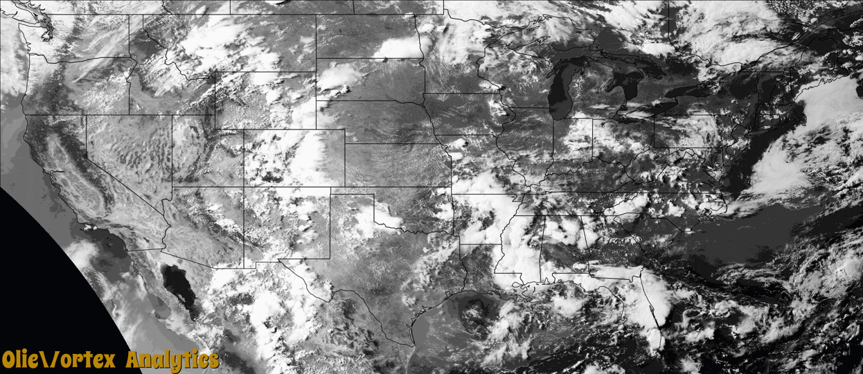
Tornado Reports
Sort by Time Sort by Rating Sort by State Sort by County| Time | Rating | Radar | State | County | Location | Narrative |
|---|---|---|---|---|---|---|
| 22:30Z | EF0 | KPUX | NM | Union | Sofia | A brief tornado touched down over rural countryside 12 miles west of Grenville. |
| 23:30Z | EF0 | KMVX | MN | Marshall | Gatzke | The tornado briefly touched down. |
| 00:02Z | EFU | KDVN | IL | Lee | Van Petten | Video and photos were shared of a brief landspout tornado that occurred in an open field. No damage was reported. |
| 00:35Z | EF2 | KABR | SD | Mcpherson | Wetonka | A tornado touched down 3 miles north northwest of Wetonka causing significant damage to the Grassland Hutterite Colony. A large machine shop lost the roof and wall. A large, empty, anchored grain bin was completely removed from its base and the adjacent feed mill was significantly damaged. A 400 foot by 80 foot turkey barn was completely destroyed along with a smaller outbuilding. Debris from these two buildings was scattered in many directions. A trailer was flipped, freight storage unit rotated and two other outbuildings had complete loss of roof panels. Roof and siding damage occurred to many of the residential buildings. Tree and crop damage had also occurred. The tornado tracked over 2 miles southeast, crossing Mcpherson County Highway 23 and ending about one mile north northeast of Wetonka. Debris from the Grassland Colony was dispersed along the entire track of the tornado. |
Storm reports are derived from "The Storm Events Database" (National Centers for Environmental Information) and/or "Past Storm Reports" (Storm Prediction Center).