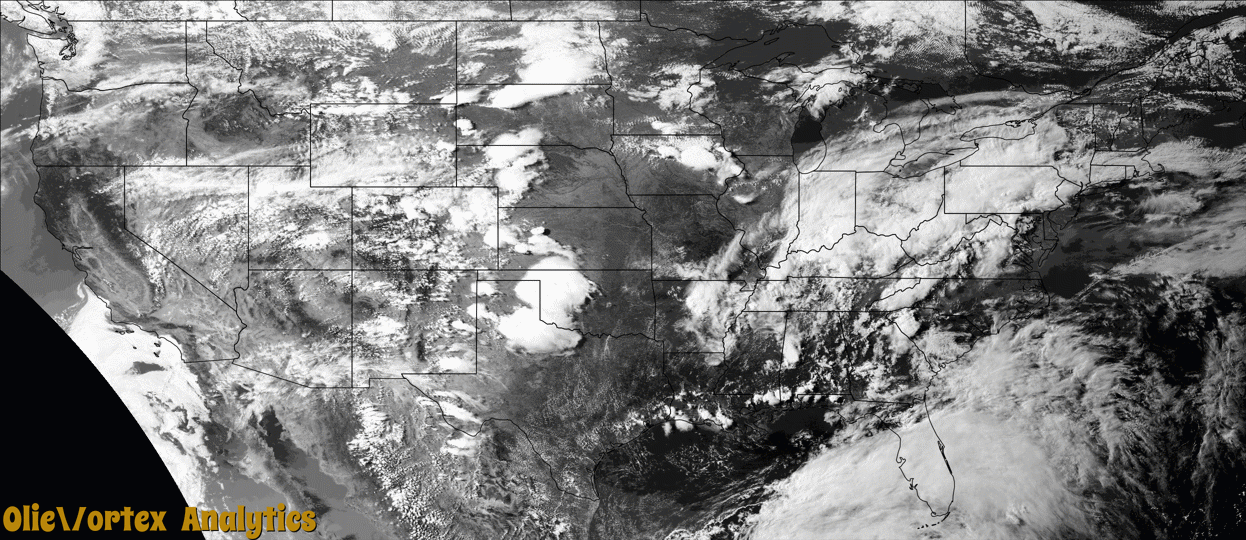
Tornado Reports
Sort by Time Sort by Rating Sort by State Sort by County| Time | Rating | Radar | State | County | Location | Narrative |
|---|---|---|---|---|---|---|
| 22:44Z | EF0 | KPAH | TN | Gibson | Trenton | A weak tornado knocked down numerous trees northeast of Trenton. Peak winds were estimated at 70 mph. |
| 22:45Z | EFU | KGLD | NE | Dundy | Colfer | Dundy County Dispatch received a report of a possible landspout 10 miles west of Benkelman. Landspout was in contact with the ground for 30 seconds. A review of radar data determined this event did occur as weather conditions were favorable for development. |
| 23:51Z | EF0 | KPAH | TN | Carroll | Scott Hill | A weak tornado touched down on Leach Road and traveled southeast crossing Purdy Road and Poplar Springs Road near the Thousand Lakes Community. The tornado continued southeast toward Highway 114 where two homes suffered roof damage. Trees were uprooted and snapped along the path, but overall damage was intermittent along the track. Peak winds were estimated at 80 mph. |
Storm reports are derived from "The Storm Events Database" (National Centers for Environmental Information) and/or "Past Storm Reports" (Storm Prediction Center).