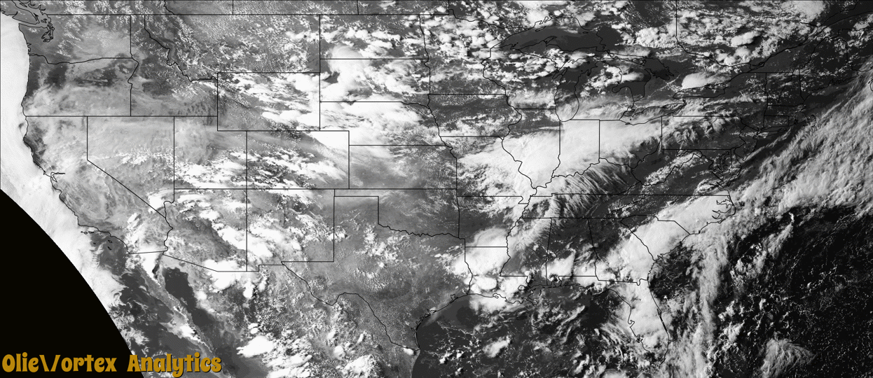
Tornado Reports
Sort by Time Sort by Rating Sort by State Sort by County| Time | Rating | Radar | State | County | Location | Narrative |
|---|---|---|---|---|---|---|
| 19:55Z | EF0 | KCYS | WY | Laramie | Gun Barrel | An EF0 tornado briefly touched down just west of US Highway 85 near Gun Barrel. The tornado tracked southeast across the highway and lifted three minutes later in open country. |
| 20:20Z | EF0 | KUDX | SD | Oglala Lakota | Kyle | A brief EF-0 tornado damaged a group of trees, with large tree branches broken. |
| 20:45Z | EF0 | KCYS | WY | Laramie | (cys)cheyenne Airport | An EF0 tornado briefly touched down on Kersey Drive north of Cheyenne. The tornado tracked southeast for a few minutes then dissipated. |
| 21:28Z | EF0 | KCYS | CO | Weld | Pawnee Buttes | A tornado touched down briefly but no damage was observed. |
| 22:31Z | EF2 | KFTG | CO | Morgan | Hillrose | A tornado touched down and uprooted many trees. Outbuildings were extensively damaged or destroyed. |
| 22:37Z | EF2 | KFTG | CO | Morgan | Snyder | A tornado touched down and destroyed Brush Municipal Airport. Small planes were flipped over and hangers were leveled. Major tree and roof damage was also observed. |
| 22:47Z | EF2 | KFTG | CO | Morgan | Gary | A tornado touched down and snapped power poles and ripped street signs from the ground. This tornado crossed into Washington County before it dissipated. |
| 22:48Z | EF2 | KFTG | CO | Morgan | Brush | A tornado touched down and uprooted many trees, with debris striking vehicles. |
| 22:49Z | EF2 | KFTG | CO | Morgan | Brush | A tornado touched down and destroyed Brush Municipal Airport. Small planes were flipped over and hangers were leveled. Major tree and roof damage was also observed. |
| 22:53Z | EF1 | KFTG | CO | Morgan | Brush Muni Arpt | A tornado touched down near the intersection of U.S. 34 and State Highway 71. The tornado snapped power poles and ripped street signs from the ground. |
| 22:54Z | EF2 | KFTG | CO | Washington | Midway | This tornado snapped power poles. It is the continuation of the tornado that began in Morgan County several minutes earlier, and crossed into Washington County before dissipating. |
Storm reports are derived from "The Storm Events Database" (National Centers for Environmental Information) and/or "Past Storm Reports" (Storm Prediction Center).