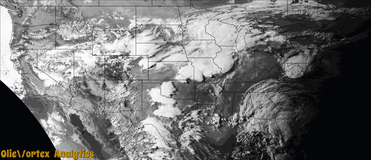
Tornado Reports
Sort by Time Sort by Rating Sort by State Sort by County| Time | Rating | Radar | State | County | Location | Narrative |
|---|---|---|---|---|---|---|
| 14:35Z | EF0 | KMLB | FL | Brevard | Merritt Is | Following examination of photos and video received from local broadcast media, NWS Melbourne confirmed an EF-0 tornado affected the River Palms Mobile Home Park on Merritt Island as a waterspout moved onshore from the Banana River. The tornado produced minor damage to a few mobile homes, mainly detaching awnings from trailers. Winds were estimated between 60 and 70 mph. No injuries or fatalities occurred as a result of this tornado. |
| 16:25Z | EF0 | KMLB | FL | Martin | Marcy | A NWS Storm Survey determined that a severe thunderstorm along a band of convection spawned a brief tornado over rural northwest Martin County. The EF-0 tornado, with estimated winds of 70-80 mph, caused minor damage to a screen porch and damaged roof shingles on a two-story home. The tornado also ripped a portions of a roof and south-facing wall from an adjacent barn and uprooted a large tree. Debris was carried northward from the impact area. |
| 23:35Z | EF0 | KICT | KS | Cowley | Winfield Arpt | Tornado briefly touched down, knocking down 3 power poles. |
| 23:40Z | EF0 | KICT | KS | Cowley | Arkansas City | Very brief touchdown in open country. |
| 02:26Z | EF0 | KICT | KS | Cowley | Maple City | Large electrical transmission lines were downed and a tree was completely uprooted. |
| 02:45Z | EF2 | KICT | KS | Cowley | Maple City | Damage to trees with some being uprooted and large electrical transmission lines were downed. |
| 02:48Z | EF1 | KICT | KS | Cowley | Maple City | Several large trees sustained damage along the path. It also caused damage to a barn. |
| 02:53Z | EF0 | KICT | KS | Cowley | Winfield | Brief touchdown over open country. Only some tree damage was noted. |
| 02:56Z | EF1 | KICT | KS | Cowley | Winfield | Tree damage was the main issue along this path. No structures were hit. |
| 03:06Z | EF0 | KICT | KS | Cowley | Burden | Tree damage was noted along the path. |
| 03:22Z | EF0 | KICT | KS | Chautauqua | Cedar Vale | Brief touchdown in open country outside of town. |
Storm reports are derived from "The Storm Events Database" (National Centers for Environmental Information) and/or "Past Storm Reports" (Storm Prediction Center).