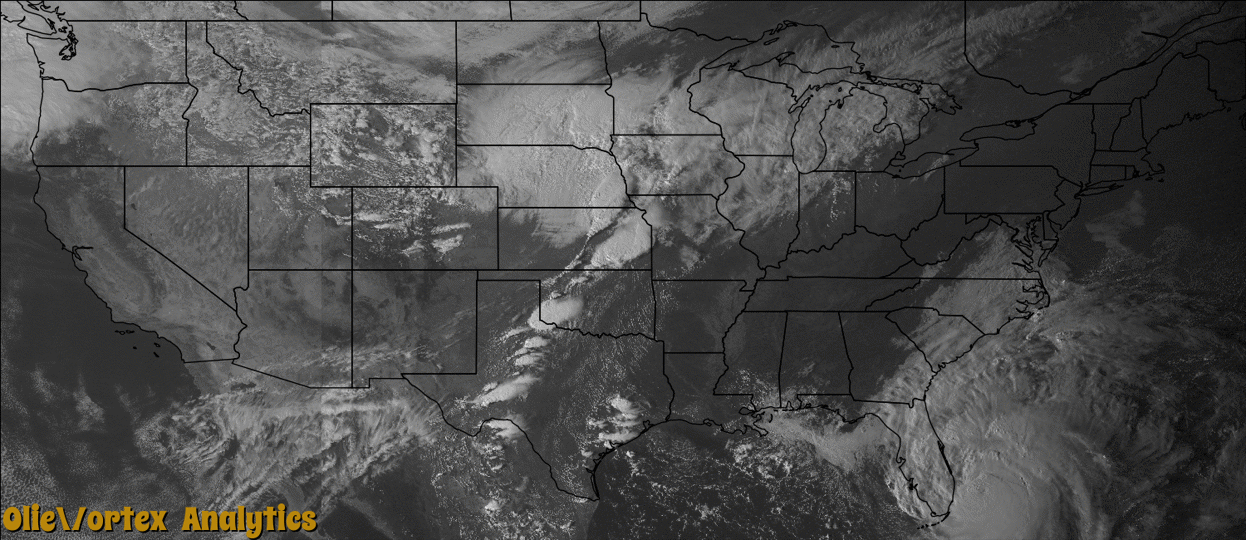
Tornado Reports
Sort by Time Sort by Rating Sort by State Sort by County| Time | Rating | Radar | State | County | Location | Narrative |
|---|---|---|---|---|---|---|
| 16:57Z | EF0 | KINX | KS | Labette | Bartlett | Trained spotter reported a brief tornado touchdown. |
| 17:14Z | EF0 | KINX | KS | Labette | Bartlett | Numerous tree limbs from a brief tornado touchdown. |
| 19:26Z | EF0 | KICT | KS | Cowley | Winfield Arpt | There was a brief touchdown just east of Strother field airport in an open field. |
| 19:42Z | EF1 | KICT | KS | Cowley | Dexter | The tornado touched down initially in a soybean field just to the southeast of a farmstead. The tornado than skimmed along at tree top level over the farmstead, before touching down again on the north side of the farmstead, destroying an open ended horse barn and grain bin. The horse barn and grain bin were thrown to the northeast into the road, as the tornado lifted along 191st road. |
| 20:08Z | EF1 | KICT | KS | Cowley | Cambridge | The tornado moved almost due north over open country causing some damage to trees by blowing down several large trees and several large tree limbs. |
| 21:13Z | EF2 | KICT | KS | Saline | Mentor | A barn was demolished and debris was strewn to the east. There was also damage to a few trees. |
| 21:18Z | EF1 | KTWX | KS | Clay | Clifton | This is the initial portion of the tornado track that crossed into Washington County. Much of this track was inaccessible to vehicles due to mud roads so the track was constructed largely based on radar and reports from chasers and damage reports from EMs. |
| 21:19Z | EF3 | KICT | KS | Saline | Gypsum | A manufactured double wide home which was held down by straps was completely lifted and destroyed. Additionally a jeep was rolled approximately 200 yards; there was damage to other farm equipment which was tossed from their original locations. Another homestead received significant tree damage along the path. All farm machinery was thrown across the property. Of significance was a combine that was rolled about 75 yards. |
| 21:23Z | EF1 | KTWX | KS | Washington | Palmer | This is the second leg of the tornado track as it crossed into southern Washington county doing damage to mainly trees, and 2 abandoned farm outbuildings along the path. |
| 21:36Z | EF1 | KTWX | KS | Clay | Clay Center | This tornado was documented by storm chasers with video and photos which showed a well developed cone shaped tornado that at times appears to have done damage along a nearly 300 yard swath at least briefly after it crossed highway 15 in an open field. The main structures impacted included a farmstead with grain bins and other outbuildings exhibiting high end EF1 damage. Winds to around 110 mph were estimated at the farmstead. Given the lack of damage indicators along the path it is possible that this tornado was stronger at some point in its life as it moved through open fields. |
| 03:07Z | EF1 | KDVN | IA | Muscatine | Muscatine | A small tornado occurred with a super cell thunderstorm as it passed just north of the city of Muscatine, Iowa. The tornado mainly damaged crops along its path, but also produced minor damage to two outbuildings at a hog farm. In addition, several hardwood tree trunks were snapped or uprooted. |
| 03:36Z | EF1 | KDVN | IA | Scott | Credit Island | An EF1 tornado began in southwestern Davenport in the downtown area, tracking northeast. Damage began on Credit Island, and extended through downtown Davenport, the Village of East Davenport, Bettendorf, and into rural northeast Scott County. The tornado crossed the Mississippi River south of Princeton, Iowa and continued into Illinois, hitting Cordova, Illinois before lifting. Along the path, damage was primarily to trees and outbuildings. Some trees fell on homes and cars. In downtown Davenport, the roof of the jail and the roof of a homeless shelter were also damaged. Peak winds were estimated to be 100 mph. The widest portion of the path occurred in eastern Davenport/Village of East Davenport. |
| 03:41Z | EF0 | KDVN | IL | Rock Island | Coyne Center | A fast moving narrow tornado caused damage to trees and crops along its 4.9 mile long path. A few trees were uprooted at the Arrowhead Ranch just south of Coal Valley, Illinois. |
| 03:57Z | EF1 | KDVN | IL | Rock Island | Cordova | An EF1 tornado began in southwestern Davenport in the downtown area, tracking northeast. Damage began on Credit Island, and extended through downtown Davenport, the Village of East Davenport, Bettendorf, and into rural northeast Scott County. The tornado crossed the Mississippi River south of Princeton, Iowa and continued into Illinois, hitting Cordova, Illinois before lifting. Along the path, damage was primarily to trees and outbuildings. Some trees fell on homes and cars. In downtown Davenport, the roof of the jail and the roof of a homeless shelter were also damaged. Peak winds were estimated to be 100 mph. The widest portion of the path occurred in eastern Davenport/Village of East Davenport. |
Storm reports are derived from "The Storm Events Database" (National Centers for Environmental Information) and/or "Past Storm Reports" (Storm Prediction Center).