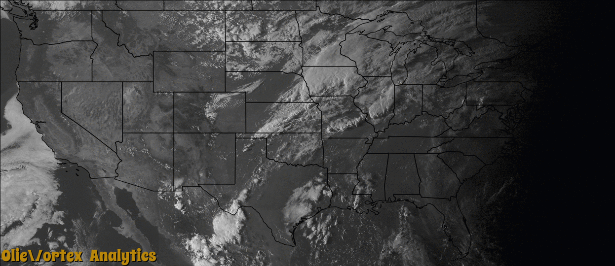
Tornado Reports
Sort by Time Sort by Rating Sort by State Sort by County| Time | Rating | Radar | State | County | Location | Narrative |
|---|---|---|---|---|---|---|
| 23:13Z | EF0 | KIND | IL | Vermilion | Catlin | A tornado briefly touched down in a field 2 miles southwest of Catlin at 7:13pm CDT before quickly dissipating by 7:14pm CDT. Minor crop damage was reported. |
| 23:20Z | EF0 | KAMA | TX | Hansford | Gruver | Brief tornado, likely a landspout, touched down north of Gruver. The event was witnessed by numerous residents who were attending a high school football game. No damage was reported as the tornado likely remained over open country. The location based off of radar. |
| 23:20Z | EF0 | KMVX | MN | Beltrami | Redby | A waterspout-type tornado formed over the southeast corner of the Lower Red Lake, staying mainly over open water. Peak winds were estimated at 65 mph. |
| 23:31Z | EF2 | KILX | IL | Champaign | Block | A tornado touched down in a field 3.6 miles south of Sidney at 6:31pm CDT. The tornado tracked northeastward for more than two miles damaging corn and soybean crops before destroying a garage and a large shed. A car and large RV were also damaged. A barn was destroyed less than one mile away before the tornado moved into a cemetery, where it damaged several headstones and two trees. The most extensive damage occurred at a farmstead further northeast, where three outbuildings were destroyed and a house was pushed off its foundation causing it to collapse. The tornado then dissipated in a field 2.5 miles south of Homer at 6:50pm CDT. |
| 23:34Z | EF1 | KLOT | IL | Vermilion | (dnv)vermlion Apt Da | A tornado touched down 3.6 miles southwest of Bismarck at 6:34pm CDT, then tracked northeastward for 1.6 miles mostly across open fields. The tornado damaged a few trees, took shingles off the roof of a house, and blew a camper over before dissipating 2.3 miles south-southwest of Bismarck at 6:43pm CDT. |
| 23:44Z | EF0 | KVWX | IL | Clark | Casey | A tornado briefly touched down in a field 1.4 miles south of Casey at 6:44pm CDT before quickly dissipating by 6:45pm CDT. Minor crop damage occurred. |
Storm reports are derived from "The Storm Events Database" (National Centers for Environmental Information) and/or "Past Storm Reports" (Storm Prediction Center).