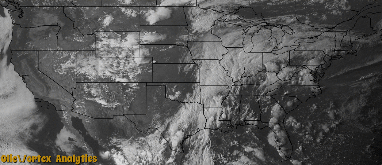
Tornado Reports
Sort by Time Sort by Rating Sort by State Sort by County| Time | Rating | Radar | State | County | Location | Narrative |
|---|---|---|---|---|---|---|
| 21:36Z | EF1 | KIND | IN | Hendricks | Clayton | An EF-1 tornado, with maximum winds estimated at 105 mph, caused minor damage to a few farm buildings, rolled a trailer, and uprooted trees. |
| 21:56Z | EF0 | KIND | IN | Tippecanoe | Cairo | An EF-0 tornado, with maximum winds estimated at 85 mph, downed three trees, destroyed a mailbox, and flattened a 25 yard wide path of corn. |
| 22:06Z | EF1 | KIND | IN | Hendricks | Brownsburg | An EF-1 tornado, with maximum winds estimated at 95 mph, uprooted several trees and pushed a pontoon boat across the street. |
| 22:15Z | EF1 | KIND | IN | Hendricks | Avon | A few tree trunks were snapped due to this brief EF-1 tornado touchdown, with maximum wind speeds of 95 mph. |
| 22:19Z | EF0 | KIND | IN | Hendricks | Brownsburg | An EF-0 tornado, with peak winds estimated at 80 mph, removed front porch pillars from a house and downed tree branches. This tornado occurred north of Brownsburg near the Boone-Hendricks County line. |
| 22:27Z | EF2 | KIND | IN | Boone | Royalton | An EF-2 tornado, with peak winds estimated at 115 mph, destroyed a pole barn. A grain bin and farm equipment were also damaged. Tree trunks were snapped, limbs were downed, and some corn was flattened along the tornado's path. This tornado occurred between Whitestown and Zionsville. |
| 23:04Z | EF1 | KIND | IN | Hamilton | Boxley | An EF-1 tornado, with maximum winds estimated at 105 mph, snapped several tree trunks and flattened corn stalks along the path. |
| 00:17Z | EF0 | KIWX | IN | Howard | Sycamore | An EF-0 tornado, with maximum winds estimated at 80 mph, snapped several tree branches, partially peeled tin roof off of a shed, and blew out a window in a barn and a house. |
Storm reports are derived from "The Storm Events Database" (National Centers for Environmental Information) and/or "Past Storm Reports" (Storm Prediction Center).