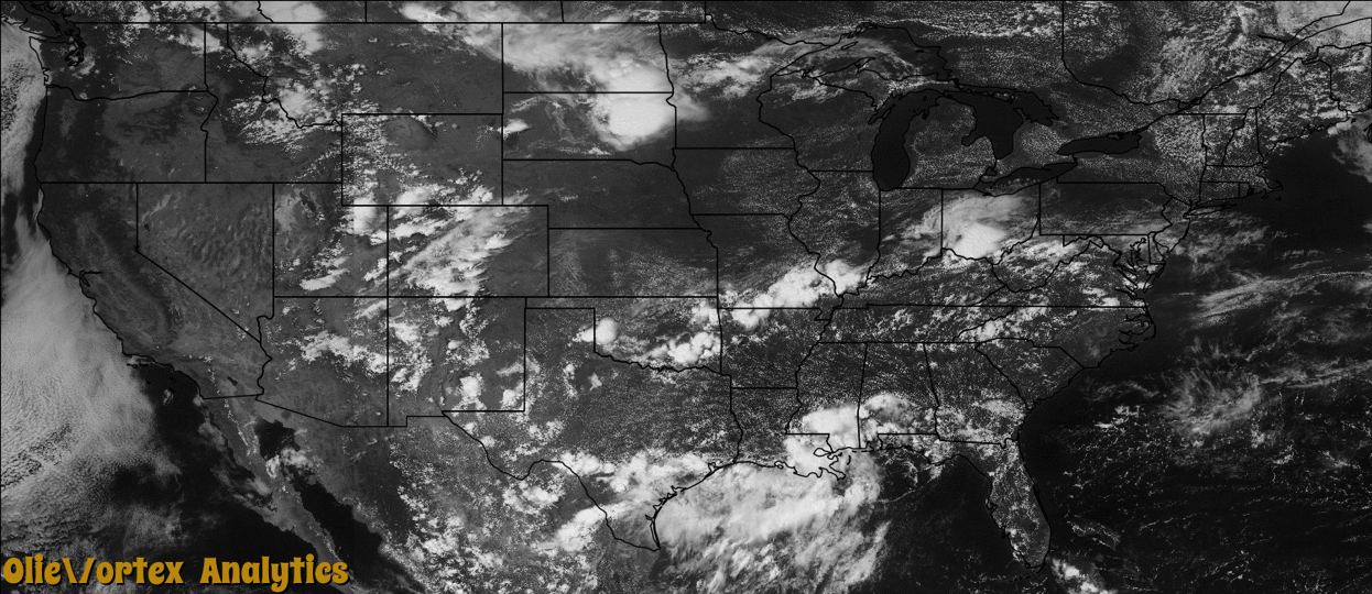
Tornado Reports
Sort by Time Sort by Rating Sort by State Sort by County| Time | Rating | Radar | State | County | Location | Narrative |
|---|---|---|---|---|---|---|
| 19:40Z | EF0 | KMVX | ND | Barnes | Berea | A brief touchdown was reported by a traveler on Interstate 94, west of Valley City, looking northeast across Hobart Lake. The touchdown appeared to be in an open field in central Hobart Township. Peak winds were estimated at 70 mph. |
| 00:50Z | EF0 | KBIS | ND | Grant | Freda | The tornado was on the ground for about one minute and traveled less than one-tenth of a mile over a rural area. No injuries or deaths were reported, and no damage occurred. As a result of the tornado hitting no structures it was rated EF-0. |
| 01:00Z | EF2 | KUDX | NE | Sheridan | Clinton | At 1903MDT the tornado touched down in an open field and moved south. It produced damage to three rows of tree wind breaks, destroyed 75 yards of fencing, and removed shingles from a double wide mobile home. Several tree trunks were snapped with the limb debris carried southeast. Law enforcement observed the tornado. The tornado was rated an EF-1 on the Enhanced Fujita Scale with a peak wind of 107 MPH. |
| 01:39Z | EF0 | KUDX | NE | Sheridan | Gordon | Trained storm spotter observed and photographed tornado from Highway 20. The tornado touched down in an open field with no damage observed. |
Storm reports are derived from "The Storm Events Database" (National Centers for Environmental Information) and/or "Past Storm Reports" (Storm Prediction Center).