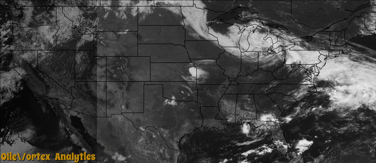
Tornado Reports
Sort by Time Sort by Rating Sort by State Sort by County| Time | Rating | Radar | State | County | Location | Narrative |
|---|---|---|---|---|---|---|
| 19:35Z | EF0 | KLWX | PA | Fulton | Northcraft | The National Weather Service in State College PA has confirmed a tornado near Barnes Gap in Fulton County Pennsylvania on June 16, 2016.||This was a small brief tornado that moved through a wooded area crossing Route 484 Buck Valley Road just northeast of Barnes Gap. Trees were snapped and uprooted in different directions indicating a cyclonic pattern.||Much greater damage occurred from a 3 mile wide swath over 5 miles long of scattered straightline wind damage and hail from this storm. The storm moved southeast through Inglesmith in Bedford County into the southwest corner of Fulton County. The hail laid down a thick carpet of leaves on the roadway. Hailstones were|reported to cover the ground with stones golfball to baseball in size near Inglesmith. Cars were dented and a windshield was smashed and some windows on homes and barns were broken. Peak winds were estimated at 80 mph.||There were no injuries or fatalities. ||Note:|Start Lat/Lon was 39.7397, -78.3438.|Ending Lat/Lon was 39.7390, -78.3420. |
| 20:42Z | EF0 | KPBZ | PA | Fayette | Graham Crossing | A NWS storm survey found an EF0 tornado occurred on Airway Inn Road and parts of Ladys Lane Road. Maximum sustained winds were near 70 MPH with a maximum width of 200 yards. The tornado was on the ground for just under one half mile. Over 80 trees were downed or uprooted along the path, with 2 uptooted trees falling on a house on Ladys Lane. |
| 20:49Z | EF0 | KPBZ | WV | Monongalia | Cassville | A NWS storm survey found a brief EF0 tornado occurred from Sierra Farm Road to Gallus Road. Several large trees were downed and uprooted, with shingles stripped and some windows blown out of a home. The tornado was on the ground for less than one quarter mile, and had a maximum path width of 350 yards. Maximum wind speed was estimated at 80 MPH. |
Storm reports are derived from "The Storm Events Database" (National Centers for Environmental Information) and/or "Past Storm Reports" (Storm Prediction Center).