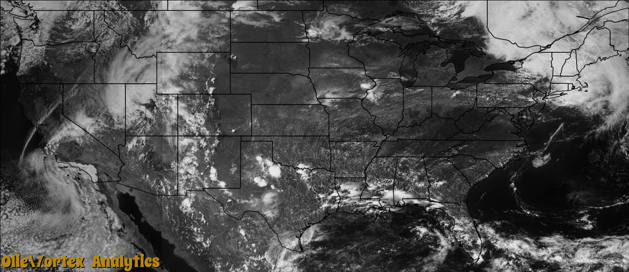
Tornado Reports
Sort by Time Sort by Rating Sort by State Sort by County| Time | Rating | Radar | State | County | Location | Narrative |
|---|---|---|---|---|---|---|
| 00:54Z | EF3 | KUDX | MT | Fallon | Baker Arpt | The pre-storm environment for eastern Montana was such that severe weather was likely. Surface dew point values in the Baker area were in the lower 60s with strong southeasterly flow converging in the vicinity of a stationary surface trough. This area of strong surface convergence, which also separated moist rich air to the east and drier air to the west, played a critical role in the development of this short-lived tornado. ||Although no fatalities occurred , seven injuries, some requiring hospitalization, resulted from the tornado. Two homes were totally destroyed and 40 to 50 more sustained excessive damage. The city blocks located between South 5th Street East and South 10th Street East intersected by Texas Avenue were hit the hardest and sustained the most damage. Many power poles were broken resulting in power lines down and power outages. Single tree trunks were described to look like match sticks as they were stripped of all branches and leaves. ||Over 70 personnel came with boots on the ground from the surrounding tri-state area. The communities of Plevna, Ekalaka, and Wibaux, Montana, Marmarth, Rhame, Bowman and Beach, North Dakota, as well as Ludlow, South Dakota responded shortly after the tornado. ||At the mesoscale level (2 to 2000 km in space), the interaction of pre-existing convergence zones or boundaries can serve as areas of storm development or enhancement. In some cases, pre-existing thunderstorms interacting with a boundary of converging surface winds can rapidly develop short-lived tornadoes with very little precursor indication from weather radar. The time scale of these events typically is on the order of a few minutes (0-10 minutes). ||In the case of the thunderstorms near Baker on Saturday, June 11th, evidence of these types of boundaries was observed. |
Storm reports are derived from "The Storm Events Database" (National Centers for Environmental Information) and/or "Past Storm Reports" (Storm Prediction Center).