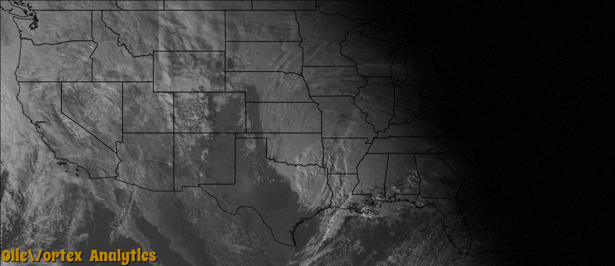
Tornado Reports
Sort by Time Sort by Rating Sort by State Sort by County| Time | Rating | Radar | State | County | Location | Narrative |
|---|---|---|---|---|---|---|
| 22:14Z | EF0 | KDGX | MS | Copiah | Beech Grove | This weak tornado touched down along Bennett Road and tracked northeast along the northern portion of Burt-Loop Road. Here, a couple of trees were snapped along with several limbs broken off and some shingles peeled off the roof of a home. The tornado continued to Harmony Road, where a few more trees were snapped and some tin was peeled off the roof of a house. The tornado dissipated before it reached Highway 27. The maximum estimated wind speeds were 85mph. |
| 22:25Z | EF0 | KDGX | MS | Lincoln | New Sight | This weak tornado touched down just north of the Old Red Star community along Old Red Star Rd just to the south of the Copiah/Lincoln county line. A shed was damaged with the roof blown off and a few trees damaged. As the tornado tracked northeast, it crossed Watson Rd and damaged a couple trees. The heaviest damage occurred just west of Lott Smith Rd where dozens of pine trees were snapped and several hard woods were uprooted. A shed was damaged along with a small portion of a roof on a house. Another home had a larger section of the roof torn off. This area was rated EF1. The tornado continued northeast and lifted at Sylvarena Rd and Bayou Pierre. The maximum estimated winds were 100mph. The total track length was 5.4 miles and path width was 200 yards. |
| 22:26Z | EF1 | KDGX | MS | Copiah | Peetsville | This weak tornado touched down just north of the Old Red Star community along Old Red Star Rd just to the south of the Copiah/Lincoln county line. A shed was damaged with the roof blown off and a few trees damaged. As the tornado tracked northeast, it crossed Watson Rd and damaged a couple trees. The heaviest damage occurred just west of Lott Smith Rd where dozens of pine trees were snapped and several hard woods were uprooted. A shed was damaged along with a small portion of a roof on a house. Another home had a larger section of the roof torn off. This area was rated EF1. The tornado continued northeast and lifted at Sylvarena Rd and Bayou Pierre. The maximum estimated winds were 100mph. The total track length was 5.4 miles and path width was 200 yards. |
| 23:20Z | EF1 | KDGX | MS | Simpson | Bush | The tornado started off of Highway 472 where it snapped a few trees and then continued northeast along the highway where it took a large portion of the roof off of a mobile home. The tornado continued northeast and crossed Berta Mamgum Road, where it snapped a few trees along the way and blew some tin off the roof of a mobile home. The tornado continued across Railroad Lane and Highway 28, snapping several trees and ended just east of Old Westville Road. The maximum estimated wind speeds were 95mph. |
| 23:46Z | EF0 | KDGX | MS | Scott | Homewood | This weak tornado snapped a handful of large pine trees off of County Road 562 and 550. A few other large limbs were also broken off. This tornado dissipated just before it crossed Highway 35. The maximum estimated wind speeds were 70mph. |
| 23:58Z | EF1 | KLIX | LA | Tangipahoa | Tangipahoa | A weak tornado touched down just northwest of the community of Tangipahoa. Approximately a dozen large hardwood trees, mainly oaks, were uprooted or trunks snapped. Path length approximately one quarter mile. Path width 50 yards. The tornado was ranked an EF1 on the Enhanced Fujita scale with an estimated maximum wind speed of 95 mph. Time of the event was based on radar. |
| 00:49Z | EF2 | KLIX | MS | Lamar | Otob | The tornado started near Strickland Road, where it snapped a few trees. The tornado continued northeast to the intersection of Porter Hudson Road and North Slade Road. At this point, the tornado was the strongest with 115mph winds. The tornado destroyed a garage and took the roof off of a house. The tornado continued across Bob Graham Road, where it took some roof decking off of a home. The tornado continued across Sand Lane, where it caused some roof damage to a mobile home. The tornado crossed Old Salt Road and snapped a few trees and tipped over a mobile home. The tornado continued to move east across North Black Creek Road, snapping a few more trees along the way and ended just east of Black Creek Road. |
| 07:44Z | EF0 | KEVX | FL | Walton | Caney Creek | Trees were blown down and a dual-pol tornadic debris signature was observed on KEVX radar along this track. No structural damage was reported in this very rural area. This tornado was rated EF0. |
| 09:49Z | EF0 | KEVX | FL | Calhoun | Broad Branch | Trees were blown down and a dual-pol tornadic debris signature was observed from KEVX radar along this track. No structural damage was reported in this very rural area. This tornado was rated EF0. |
Storm reports are derived from "The Storm Events Database" (National Centers for Environmental Information) and/or "Past Storm Reports" (Storm Prediction Center).