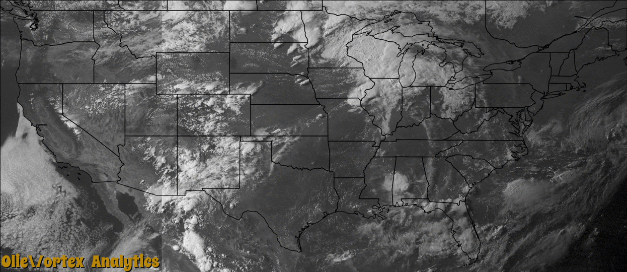
Tornado Reports
Sort by Time Sort by Rating Sort by State Sort by County| Time | Rating | Radar | State | County | Location | Narrative |
|---|---|---|---|---|---|---|
| 22:14Z | EF0 | KDVN | IA | Henry | Swedesburg | An EF0 tornado with maximum winds estimated at 80 mph touched down 1.9 miles southwest of Swedesburg, IA. It traveled 1.51 miles and lifted 0.8 miles south of Swedesburg. The average path width was 10 yards. No damage was reported. |
| 23:09Z | EF1 | KDVN | IL | Henderson | Lone Tree | An EF1 tornado with maximum winds estimated at 95 mph touched down 1.1 miles east of Lone Tree, IL. The tornado traveled 0.84 miles and lifted 1.8 miles east northeast of Lone Tree. The maximum path width was about 100 yards. Along the path, trees and outbuildings were destroyed. |
| 23:49Z | EF1 | KDVN | IL | Warren | Smithshire | Tornado strength rating of EF-1. Maximum estimated wind of 90 MPH. Tornado path length of 1.41 miles. Tornado path maximum width of 50 yards. Tornado start time roughly 649 PM CDT. Tornado path start location roughly 2.4 MILES north of Smithshire IL. Tornado end time of roughly 651 PM CDT. Tornado path end location of 1.9 miles South of Kirkwood IL. Trees and outbuildings damaged and a semi blown over on Highway 34. |
| 00:00Z | EF1 | KDVN | IL | Rock Island | Port Byron | An EF1 tornado with estimated peak wind of 105 mph damaged trees and some homes along 94th Ave. Path length, 1.2 miles.Path width about 200 yards. The tornado began at 7 pm 0.5 miles southeast of Port Byron and lifted around 703 pm 1.3 miles east northeast of Port Byron. |
| 00:09Z | EF2 | KDVN | IL | Warren | Kirkwood | An EF2 tornado with maximum wind estimated at 120 MPH touched down 2.6 miles east of Kirkwood, IL. The tornado traveled approximately 1.7 miles and lifted 3.2 miles southwest of Monmouth, IL. The maximum path width was about 300 yards. Along the path, the tornado destroyed a grain bin and a cattle barn at Shauman's Corner about 6.4 miles southwest of Monmouth on US 34. Power poles were also snapped. |
| 00:13Z | EF2 | KDVN | IL | Warren | Nemo | An EF-2 tornado with winds estimated at 125 mph tracked about 6 miles from east of Monmouth through the town of Cameron before lifting. A maximum path width of 700 yards was estimated in Cameron. The tornado began at 713 pm CDT 1 mile southeast of Monmouth and lifted at 734 pm 2.2 miles east of Cameron. The most intense damage occurred in Cameron where at least 3 homes were unroofed, numerous garages and outbuildings were destroyed, and a large grain bin at the elevator was destroyed. |
| 01:34Z | EF0 | KMPX | IA | Mitchell | Meroa | A tornado briefly touched down southwest of Osage. A garage was flipped, a barn destroyed and house siding damaged by flying debris. Multiple trees were either uprooted or snapped off and powerlines were downed. |
| 01:48Z | EF0 | KDVN | IL | Whiteside | Sterling Arpt | An EF0 tornado with peak winds estimated at 80 mph touched down 4 miles south of Rock Falls. It traveled about 0.55 miles in open country. According to spotter account and video, it was on the ground for about 1 minute 20 seconds. No damage was reported. |
| 04:39Z | EF2 | KILX | IL | Tazewell | Delavan | A tornado touched down 0.6 miles south of Delavan at 11:39 PM CDT. The tornado then moved east-northeast across the south side of Delavan, damaging 51 homes. 15 of the homes sustained severe damage, including either the roofs being completely torn off or the majority of the roof deck being lifted off. Numerous garages, outbuildings, and trees were damaged. The tornado also crossed through the Prairie Rest Cemetery, damaging grave markers and several trees before dissipating in a cornfield 2.2 miles east-northeast of Delavan at 11:46 PM CDT. |
Storm reports are derived from "The Storm Events Database" (National Centers for Environmental Information) and/or "Past Storm Reports" (Storm Prediction Center).