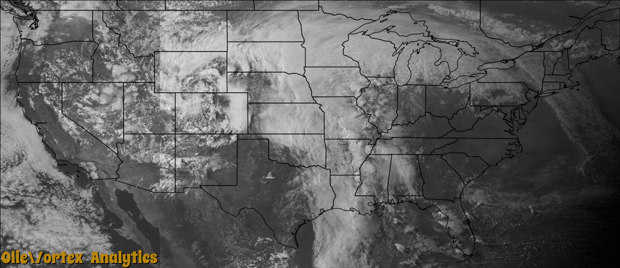
Tornado Reports
Sort by Time Sort by Rating Sort by State Sort by County| Time | Rating | Radar | State | County | Location | Narrative |
|---|---|---|---|---|---|---|
| 16:34Z | EF1 | KSHV | TX | Harrison | Gill | National Weather Service Storm Survey Team determined that damage across Harrison County was consistent with that of a tornado. An EF1 tornado touched down south of Marshall, Texas and snapped and uprooted numerous trees. A home sustained roof damage when the wind lifted the carport portion of the roof structure. The owner also lost a 30 by 30 foot outbuilding. A warehouse also had some roof damage south of the residence. |
| 17:15Z | EF1 | KEAX | MO | St. Clair | Damascus | A NWS storm survey found that an EF-1 tornado touched down about 3 miles south of Lowry City and crosses Highway 13. The tornado tracked northeast and lifted near NE 1000 Road just east of Highway NN. The tornado severely damaged two homes and several outbuildings were destroyed. The tornado uprooted and damaged numerous trees along the path. The maximum estimated winds were up to 100 mph with a path length of about 5 miles and path width of about 200 yards. |
| 22:42Z | EF1 | KDVN | IA | Lee | St Paul | A brief tornado with wind estimated at 95 mph destroyed a barn and grain bin along Saint Paul Road. Some trees and a power line were also blown down. A couple of chimneys were damaged. |
| 22:45Z | EF0 | KUDX | NE | Cherry | Merriman | At 1645MDT, landspout tornado briefly touched down in open rangeland and dissipated. No damage was reported. Two landspout tornadoes were reported simultaneously. |
| 22:45Z | EF0 | KUDX | NE | Cherry | Merriman | At 1645MDT, landspout tornado briefly touched down in open rangeland and dissipated. No damage was reported. Two landspout tornadoes were reported simultaneously with position estimated. |
| 22:59Z | EF1 | KSGF | MO | Ozark | Lutie | A NWS storm survey team found that an EF-1 tornado touched down about two miles west of Theodosia. The tornado tracked north-northeast and lifted about two and a half miles east of Longrun. The tornado caused minor damage to a mobile home and three barns were destroyed. Several hundred trees were uprooted or snapped along the path. The maximum estimated winds were up to 95 mph. The path length was about 5 miles long and the path width was about 200 yards wide. |
| 23:50Z | EF2 | KDVN | IL | Mercer | Mannon | Official NWS storm survey team found that the tornado moved northeast with peak winds around 115 mph. It damaged mainly trees and outbuildings along its path. The worst damage was near the beginning of the path, where a large machine shed was completely destroyed, 2 garages were destroyed, and a house partially un-roofed. Witnesses described a blinding rain accompanied the tornado. |
| 02:37Z | EF1 | KDDC | KS | Seward | Kismet | This tornado appeared much stronger and wider than it actually was due to very low cloud bases. Irrigation pivots were damaged. The tornado moved into Meade county at 20:49 LST. |
| 02:47Z | EF0 | KDDC | KS | Seward | Hayne | This was a brief tornado under the mesocyclone. |
| 02:49Z | EF1 | KDDC | KS | Meade | Plains | This tornado moved in from Seward County. It appeared to be much stronger and wider, visually. But the cloud bases were extremely low. The tornado turned north and then northwest as is dissipated, based on the survey. Many persons did not see the tornado due to nearby stratus and fog. |
| 03:06Z | EF0 | KDDC | KS | Meade | Collano | This was a new tornado that developed east of the bigger Plains tornado but passed over open areas with no damage evident. |
| 03:20Z | EF0 | KDDC | KS | Meade | Collano | Another tornado spun up north of an 8 minute tornado near Collano. There was nothing to damage. |
| 03:47Z | EF1 | KDDC | KS | Meade | Missler | This tornado damaged pivot irrigation sprinklers as it moved northeast and then turned north into Gray county. |
| 04:06Z | EF1 | KDDC | KS | Gray | Montezuma Arpt | This tornado moved in from Meade County and turned north and then northwest dissipating just southeast of Montezuma. A few pivot irrigation sprinklers were damaged. |
| 04:26Z | EF2 | KDDC | KS | Meade | Fowler | This tornado damaged high voltage transmission lines and poles, pivot irrigation sprinklers, a home and trees. A stock trailer was tossed through the side of the home but fortunately all occupants were in the basement. A car in the driveway was carried and then dropped in a field about 100 miles to the north-northeast. There were no roll marks from the vehicle. The tornado moved into Ford County. |
| 05:03Z | EF1 | KDDC | KS | Ford | Howell | This tornado moved in from Gray county and damaged power poles and a few trees. |
| 05:20Z | EF1 | KDDC | KS | Ford | Dodge City | This tornado damaged a few pivot irrigation sprinklers, trees and minor damage to a home. |
Storm reports are derived from "The Storm Events Database" (National Centers for Environmental Information) and/or "Past Storm Reports" (Storm Prediction Center).