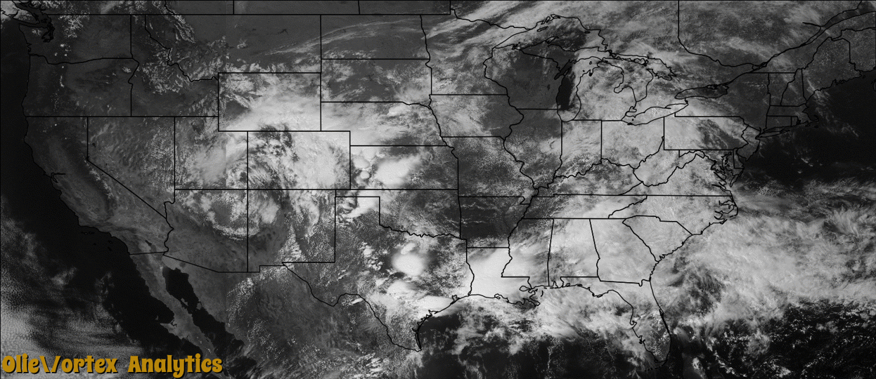
Tornado Reports
Sort by Time Sort by Rating Sort by State Sort by County| Time | Rating | Radar | State | County | Location | Narrative |
|---|---|---|---|---|---|---|
| 19:16Z | EF0 | KCRP | TX | Refugio | Refugio Rooke Arpt | A brief rope tornado lasted around 30 seconds. |
| 19:51Z | EF0 | KCRP | TX | Refugio | Greta | A weak tornado briefly caused damage near Quintana. The tornado damaged six utility poles and broke several large tree limbs. NWS survey team estimated wind speeds were near 80 mph. |
| 20:31Z | EF0 | KCRP | TX | Refugio | Maudlowe | A weak tornado produced damage southwest of Tivoli. The tornado damaged several utility poles. A NWS storm survey team estimated wind speeds were around 80 mph. |
| 20:58Z | EF0 | KAMA | TX | Carson | Conway | Storm chasers observed a non-mesocyclonic tornado near Conway. A National Weather Service damage survey found minor telephone pole damage. A damage rating of EF-0 was assigned to this tornado. Estimated peak winds were 70 mph. |
| 21:58Z | EF0 | KAMA | TX | Gray | Alanreed | An EF-0 tornado caused minor damage between Boydston Road and Highway 70 south of Pampa. Estimated peak wind was 70 mph. |
| 22:20Z | EF0 | KAMA | TX | Hemphill | Gageby | An EF-0 tornado was video documented northeast of Briscoe. No damage was reported. |
| 22:35Z | EF0 | KAMA | TX | Roberts | Codman | A well photographed tornado occurred 5 miles east-southeast of Codman. No damage was reported. A damage rating of EF-0 was assigned to this tornado. |
| 23:18Z | EF0 | KGLD | KS | Hamilton | Medway | There was brief contact from this developing tornado. |
| 23:20Z | EF0 | KAMA | TX | Wheeler | Kellerville | An EF-0 tornado with winds estimated to have peaked at 80 mph uprooted trees with numerous branches snapped. An old outbuilding was destroyed. Much of the path is rural making it difficult to determine whether or not the path was continuous. This was a well videographed tornado which became rain-wrapped. |
| 23:22Z | EF0 | KAMA | TX | Wheeler | Briscoe | A second tornado occurred northeast of Briscoe. Xcel Energy reported damage to power poles. Winds are estimated to have peaked at 80 mph. A damage rating of EF-0 was assigned to this tornado. |
| 00:00Z | EF0 | KGLD | KS | Hamilton | Medway | This was an apparently weak tornado but it occurred in an area with nothing to damage. |
| 01:00Z | EF0 | KFDR | OK | Beckham | Delhi | Numerous storm chasers observed a tornado that developed about 5 miles east of Erick. The tornado moved northeast and crossed Interstate 40 at the Hext Road interchange. The tornado then curved northwest and dissipated 8 miles west-southwest of Sayre. Some trees were damaged, but no structural damage was found. |
Storm reports are derived from "The Storm Events Database" (National Centers for Environmental Information) and/or "Past Storm Reports" (Storm Prediction Center).