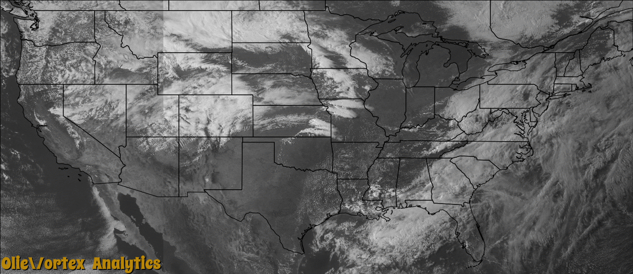
Tornado Reports
Sort by Time Sort by Rating Sort by State Sort by County| Time | Rating | Radar | State | County | Location | Narrative |
|---|---|---|---|---|---|---|
| 17:47Z | EF0 | KSFX | ID | Jefferson | Monteview | A brief tornado touched down 6 miles northwest of Monteview. Tornado occurred over open land with no damage reported. |
| 20:07Z | EF1 | KEOX | AL | Geneva | Black | Damage began just west of Geneva County Highway 9 near the intersection with Thelma Road. The beginning of the damage path appeared to be about 250 yards west of Highway 9 where some light tree damage was noted. More substantial tree damage was noted closer to Highway 9 and along Thelma Road, with numerous snapped or uprooted trees. In addition there was damage to two houses. One had some minor damage to some of the siding and gutters. The other had uplift of some sections of the roof from both the house and a nearby shed. Damage at this location was consistent with estimated peak 3-second wind gusts of around 100 mph based on the Enhanced Fujita Scale. Some sporadic tree damage was noted to the northeast of Thelma Road near some farm fields, and it seems likely that the tornado was then in occasional contact with the ground for a little over a mile with only some light tree damage noted. A small corridor of more significant damage was noted again just west of Price Road and about 0.3 miles north of Geneva County Highway 4. At that location, a metal building structure being used as a barn was destroyed. The metal beams that supported the structure were embedded at the corners of the building in about a foot of concrete in the ground. These beams and the associated concrete were pulled out of the ground. Nearby damage consisted of some sporadic instances of trees and poles being snapped, as well as a small shed being destroyed. Given the likelihood that the wind entered the larger metal structure relatively unimpeded, and a lack of more significant nearby damage, it`s likely that this structure failed at a slightly lower wind speed with estimated peak 3-second wind gusts of around 105 mph. The last damage was noted in a patch of trees just northeast of the metal structure that was destroyed. |
| 22:15Z | EF2 | KEAX | MO | Jackson | Sibley | A tornado formed near the Jackson and Ray County line along the Missouri River. The tornado crossed into Ray County about 2 minutes after forming in wooded areas along the river. |
| 22:17Z | EF2 | KEAX | MO | Ray | Orrick | This tornado is a continuation of the tornado that formed in Jackson County Missouri, just south of Sibley, Missouri and trekked eastward paralleling Highway 210 just north of the Missouri River. The tornado entered the city of Orrick, Missouri, causing widespread damage in the town with the worst damage rating the tornado an EF-2. The school in town was nearly destroyed, causing classes to come to an end for the remainder of the school year. The tornado continued east of town and dissipated just southwest of Henrietta, Missouri. |
| 23:00Z | EF0 | KEAX | MO | Ray | Lexington Arpt | Tornado 2 for the day formed just north of the town of Lexington, Missouri and did damage to trees along the northern bank of the Missouri River, just north of Lexington. No structures were damaged in this short and weak tornado. |
| 00:26Z | EF1 | KEAX | MO | Saline | Marshall | The third and final tornado from this survey formed just north of Marshall, Missouri. While the tornado was very wide, it did not damage any structures that would suggest it was stronger than EF-1. Generally it impacted trees and power lines in the rural areas of Saline County and a few farm structures. The tornado dissipated just east of Marshall, Missouri about 20 minutes after is formed. |
| 01:16Z | EF0 | KICT | KS | Greenwood | Severy | A very brief rope tornado touched down in an open field. |
Storm reports are derived from "The Storm Events Database" (National Centers for Environmental Information) and/or "Past Storm Reports" (Storm Prediction Center).