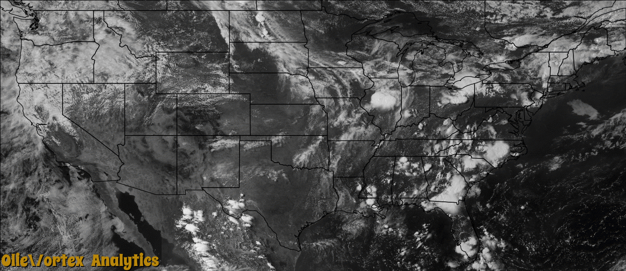
Tornado Reports
Sort by Time Sort by Rating Sort by State Sort by County| Time | Rating | Radar | State | County | Location | Narrative |
|---|---|---|---|---|---|---|
| 21:12Z | EF0 | KMBX | ND | Mchenry | Velva | Multiple reports of a weak tornado touchdown in far southeastern McHenry County were received. There was no damage and so the tornado was rated EF0. |
| 00:59Z | EF0 | KBIS | SD | Campbell | Mound City | A tornado touched down briefly in an open field with no damage reported. |
| 01:00Z | EF0 | KTBW | FL | Pinellas | Saint Petersburg Beach | A waterspout over Pass-A-Grill Channel came onshore as a tornado. The Pinellas County 911 Call Center reported power lines down on 44th Avenue. Times and locations were estimated using radar data and 911 call logs. |
| 04:25Z | EF0 | KMVX | MN | Clay | Barnesville | The tornado touched down about a mile west of the airport and tracked to the Interstate 94 exit north of town by 2230 CST. The tornado continued to about four miles northeast of town, a track length of about seven miles. The tornado was likely wrapped in heavy rain during portions of this track. One livestock loafing shed was lifted and collapsed and several trees were knocked down. Peak winds were estimated at 80 mph. |
Storm reports are derived from "The Storm Events Database" (National Centers for Environmental Information) and/or "Past Storm Reports" (Storm Prediction Center).