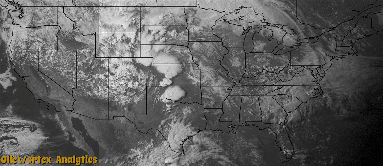
Tornado Reports
Sort by Time Sort by Rating Sort by State Sort by County| Time | Rating | Radar | State | County | Location | Narrative |
|---|---|---|---|---|---|---|
| 22:27Z | EF0 | KDDC | KS | Trego | Cedar Bluff Res | This tornado moved over ground that had no trees, fences or anything to damage. It dissipated as it reached the shores of the Cedar Bluff Reservoir. |
| 22:58Z | EF0 | KCYS | NE | Morrill | Broadwater | The tornado was on the ground for a few minutes before it lifted. |
| 23:03Z | EF0 | KDDC | KS | Ness | Brownell | A brief multi-vortex tornado lasted just a couple of minutes. |
| 23:09Z | EF1 | KDDC | KS | Ellis | Ellis | This small tornado damaged some power poles and trees. |
| 23:37Z | EF0 | KDDC | KS | Ellis | Antonino | This tornado was brief and did not cause any damage. |
| 00:18Z | EF4 | KDDC | KS | Pawnee | Burdett Rucker Arpt | This tornado was well documented by storm chasers, spotters and a research team with portable doppler radar. The tornado did turn north towards the end of it's life cycle. Low end EF4 damage was done to a home along US156. The roof and walls were blown away of this well constructed house. Several large tanks were carried a long distance. There were 2 people inside but they escaped injury by taking shelter. Video shows that sub-vortices within the tornado may have actually had a little stronger wind. The Doppler on wheels that was observing the tornado had near surface measured wind speeds of 165 to 185 MPH. |
| 00:49Z | EF1 | KDDC | KS | Pawnee | Sanford | This tornado developed east of the original Rozel tornado and moved north and then back west as outflow pushed the surface contact before it completely roped out. Damage was done to power poles and a few trees. A damage survey was completed. |
| 01:10Z | EF0 | KDDC | KS | Pawnee | Ash Valley | This cone tornado was the third in a series but only lasted for a short time. No damage was observed. |
| 03:35Z | EF1 | KTWX | KS | Clay | Morganville | Small tornado skipped northeast and produced EF1 damage at a home along Parallel road on the Clay and Washington county border. Outbuildings were destroyed and grain bins were blown away. Ponderosa pines were sheared off near the stump in a narrow path to the northeast. |
| 03:42Z | EF1 | KTWX | KS | Washington | Vining | The small tornado moved northeast of Parallel Road out of Clay County and dissipated after approximately 1 mile producing minor EF0 damage to trees. |
| 04:00Z | EF0 | KTWX | KS | Washington | Washington | Very small brief tornado did minor damage to buildings in southwest portions of Washington. Tornado was only 50 yards wide and had winds of around 80 mph which would have been similar to surrounding 60 to 80 mph winds within the bow echo. |
Storm reports are derived from "The Storm Events Database" (National Centers for Environmental Information) and/or "Past Storm Reports" (Storm Prediction Center).