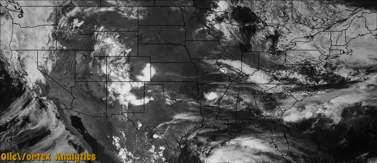
Tornado Reports
Sort by Time Sort by Rating Sort by State Sort by County| Time | Rating | Radar | State | County | Location | Narrative |
|---|---|---|---|---|---|---|
| 20:45Z | EF0 | KLZK | AR | Lonoke | Culler | A landspout-type tornado occurred over open farmland. It was witnessed and photographed by a number of people. |
| 01:28Z | EF0 | KLBB | TX | Crosby | Crosbyton Muni Arpt | A brief tornado located about two miles southwest of Crosbyton was photographed by a storm chaser. NWS radar indicated a short-lived, low-level mesocyclone that developed along the northwest edge of an apparent surging gust front. The increased cyclonic shear to the left of the gust front's motion was likely stretched vertically and produced the brief EF0 tornado. No damage survey was conducted as the tornado was only in progress for less than one minute over open land. |
| 01:44Z | EF2 | KPAH | MO | Scott | Diehlstadt | A single wide mobile home was demolished. The undercarriage was blown 100 yards. A father and his two adult sons, who were inside the home, were killed. Highway 77 was shut down in Diehlstadt. Numerous power lines were down. Several large warehouse buildings sustained partial roof loss and moderate structural damage. Several trees were snapped or uprooted. Propane leaks were reported. Fencing and signs were blown down. The tornado damage was on the eastern edge of a larger area of downburst wind damage. Peak winds were estimated near 115 mph. |
Storm reports are derived from "The Storm Events Database" (National Centers for Environmental Information) and/or "Past Storm Reports" (Storm Prediction Center).