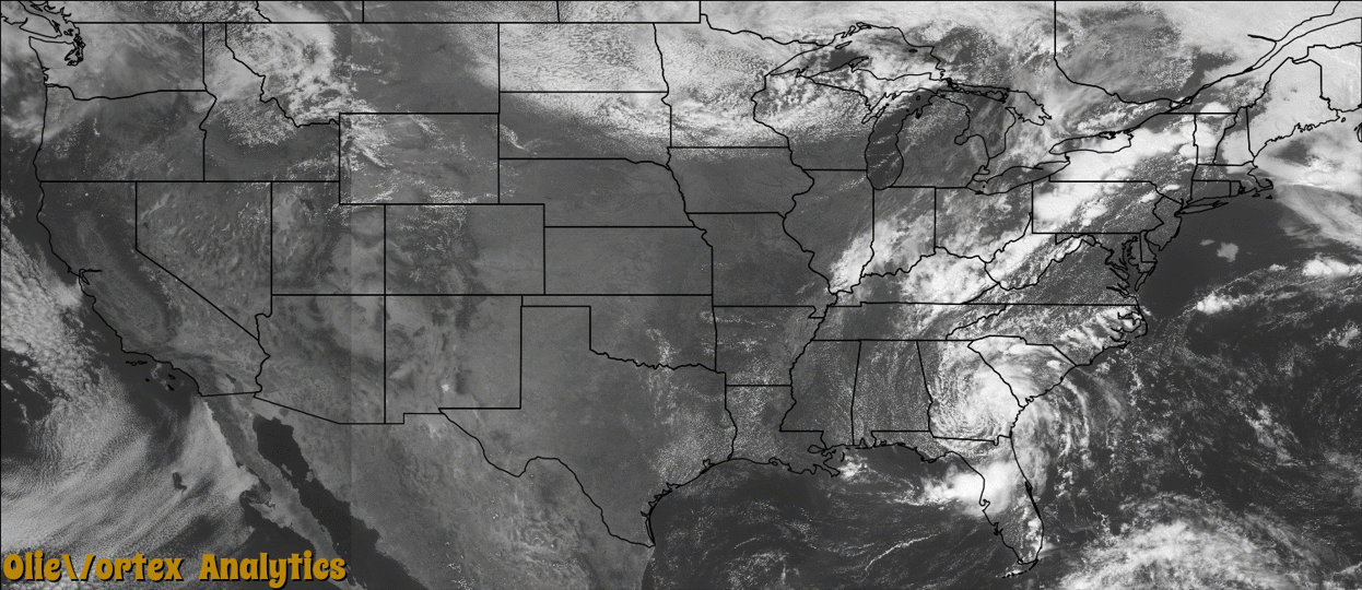
Tornado Reports
Sort by Time Sort by Rating Sort by State Sort by County| Time | Rating | Radar | State | County | Location | Narrative |
|---|---|---|---|---|---|---|
| 18:13Z | EF0 | KTBW | FL | Levy | Yankeetown | A large waterspout moved onshore at Hodges Island, then began to dissipate. Damage was limited to trees as the tornado was just north of roads and buildings in this rural area. |
| 19:25Z | EF0 | KCXX | VT | Orleans | South Albany | Tornado touched down near a private residence on Beach Hill road and tracked eastward for approximately 1/3 mile. Maximum width was 100 yards. Damage was limited to a chimney of the private residence and approximately 45 trees. |
| 01:26Z | EF1 | KOUN | OK | Canadian | Piedmont | Numerous people observed a small tornado that touched down near northwest 150th Street and Richland Road to the WSW of Piemont. The tornado damaged the roof of a trailer. Monetary damages estimated. |
| 02:03Z | EF1 | KCLX | SC | Orangeburg | Holly Hill Arpt | NWS storm survey found a weak EF1 tornado touched down just southeast of Holly Hill taking out tops of trees, uprooting trees, and causing minor damage to a home. The tornado continued through a corn field leaving flattened swirls of corn in its wake. |
| 02:15Z | EF0 | KOUN | OK | Canadian | Union City | Storm chasers observed a small tornado to the west of Union City. Some light damage was reported near Reformatory Road to the south of southwest 74th Street. |
Storm reports are derived from "The Storm Events Database" (National Centers for Environmental Information) and/or "Past Storm Reports" (Storm Prediction Center).