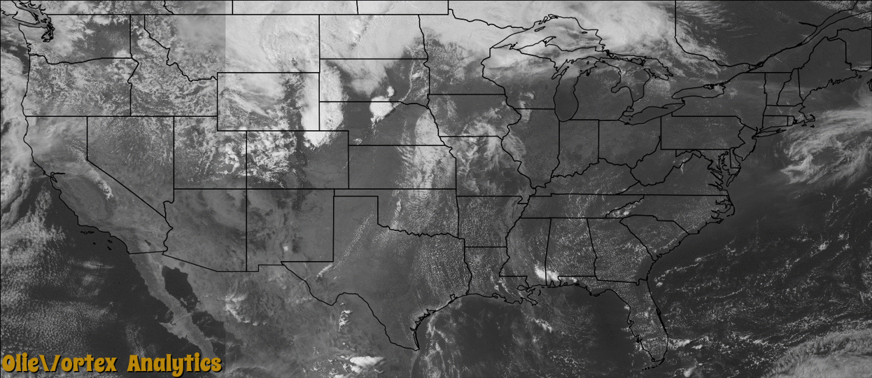
Tornado Reports
Sort by Time Sort by Rating Sort by State Sort by County| Time | Rating | Radar | State | County | Location | Narrative |
|---|---|---|---|---|---|---|
| 21:04Z | EF0 | KFTG | CO | Adams | Strasburg | A tornado touched down briefly but did no damage. |
| 21:20Z | EF0 | KLNX | NE | Rock | Rose | Brief tornado touched down in the sandhills 100 to 300 yards east of Highway 183. |
| 21:47Z | EF0 | KLNX | NE | Blaine | Brewster | Storm chaser reported brief tornado touch down in open range. |
| 22:05Z | EF0 | KLNX | NE | Holt | Atkinson | Dispatcher reported tornado briefly touched down in open field where foliage debris extended east along Highway 11. |
| 23:26Z | EF0 | KFSD | SD | Charles Mix | Dante | A brief tornado caused no reported damage. |
| 23:52Z | EF0 | KLNX | NE | Holt | O Neill | Law enforcement confirmed a tornado on the eastern edge of O'Neill. In addition there was a lot of dust picked up over an open corn field by the rear flank downdraft that made it difficult to view. The tornado was briefly on the ground with no damage. |
| 00:34Z | EF0 | KLNX | NE | Dawson | (czd)cozad Muni Arpt | A brief tornado was spotted near Cozad. No damage was reported. |
| 01:12Z | EF0 | KFSD | SD | Lake | Junius | A brief tornado caused tree damage but no other reported damage. |
| 01:22Z | EF0 | KFSD | SD | Lake | Ramona | A brief tornado caused no reported damage. |
| 01:46Z | EF2 | KMVX | ND | Richland | Walcott | This tornado tracked north northeastward for roughly two miles before crossing into Cass County. The tornado was likely enshrouded in downburst winds and heavy rain. The tornado and accompanying winds knocked down numerous wooden power poles along its path and four steel t-bar high voltage towers. Peak winds were estimated at 120 mph. |
| 01:48Z | EF2 | KMVX | ND | Cass | Kindred | This tornado originated in Richland County about four miles north of Walcott at 846 pm CDT. The tornado was likely enshrouded in downburst winds and heavy rains. The tornado crossed North Dakota highway 46 and continued to break down several single and double pole wooden power towers in southwest Pleasant township. Peak winds were estimated at 120 mph. |
| 01:52Z | EF1 | KMVX | ND | Cass | St Benedict | This tornado tracked for about two miles to the north-northeast and was likely enshrouded in downburst winds and heavy rains. The tornado flipped a parked semi trailer and tore out two large 40,000 bushel steel grain bins at one farmstead and spread debris downwind for a mile. Several trees were toppled onto rooftops in the community of St. Benedict. Peak winds were estimated at 100 mph. |
| 01:55Z | EF2 | KMVX | ND | Cass | Horace | This tornado tracked northward for about four miles and lifted near the Woodhaven Park in southwest Fargo. The tornado was likely enshrouded in downburst winds and heavy rain as it knocked down several wooden power poles and two metal truss power towers along its path. Sections of roofing were torn off of two apartment buildings. Many residences had tree, vehicle and roof damage. Peak wind were estimated at 135 mph. |
| 02:01Z | EF1 | KMVX | MN | Clay | Moorhead | This tornado tracked north-northeastward along the eastern edge of Moorhead and was likely enshrouded in downburst winds and heavy rain. A few wooden power poles were snapped and numerous trees were uprooted or snapped. Some mature trees were thrown more than 100 feet. Peak winds were estimated at 105 mph. |
| 02:03Z | EF2 | KMVX | ND | Cass | West Fargo | This tornado tracked northward and brushed the west edge of the industrial park of northwest Fargo and the east edge of Reiles Acres before lifting east of Harwood. The tornado was likely enshrouded in downburst winds and heavy rains for part of this track. Two guyed radio towers collapsed, several empty semi-trailers and travel trailers were flipped and thrown, steel wall and roofing panels were torn from industrial buildings, and numerous power poles and trees were snapped. peak winds were estimated at 135 mph. |
| 02:26Z | EF1 | KMVX | MN | Polk | Eldred | This tornado tracked intermittently to the northeast for about nine miles. A 30x40 foot wooden shed was completely blown off its foundation and destroyed in one farmyard. Numerous trees were snapped in shelterbelts along its path. Peak winds were estimated at 105 mph. |
| 03:35Z | EF1 | KMVX | MN | Hubbard | Park Rapids | This tornado tracked for about six miles and was likely enshrouded in downburst winds and heavy rain along much of its path. Several sections of center pivot irrigation systems were flipped. Numerous large trees were uprooted or snapped and shingles and roofing materials were scattered about. Peak winds were estimated at 105 mph. |
Storm reports are derived from "The Storm Events Database" (National Centers for Environmental Information) and/or "Past Storm Reports" (Storm Prediction Center).