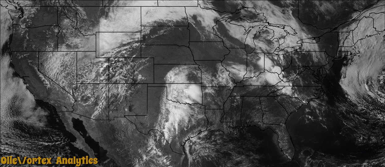
Tornado Reports
Sort by Time Sort by Rating Sort by State Sort by County| Time | Rating | Radar | State | County | Location | Narrative |
|---|---|---|---|---|---|---|
| 00:55Z | EF1 | KMPX | MN | Wright | Hanover | One home lost part of its roof, and others lost shingles. Several homes had windows blown in. Several dozen trees and a number of power poles were broken or knocked down. Siding and soffits were ripped off a few houses. Numerous backyard fences were blown over. A pole barn was lifted up about three feet before being set back down. The tornado was photographed and videotaped by several people. The condensation funnel was not fully extended, and the debris cloud never extended as high as the condensation funnel. The tornado was a marginal EF-1, with winds near 90 mph. |
Storm reports are derived from "The Storm Events Database" (National Centers for Environmental Information) and/or "Past Storm Reports" (Storm Prediction Center).