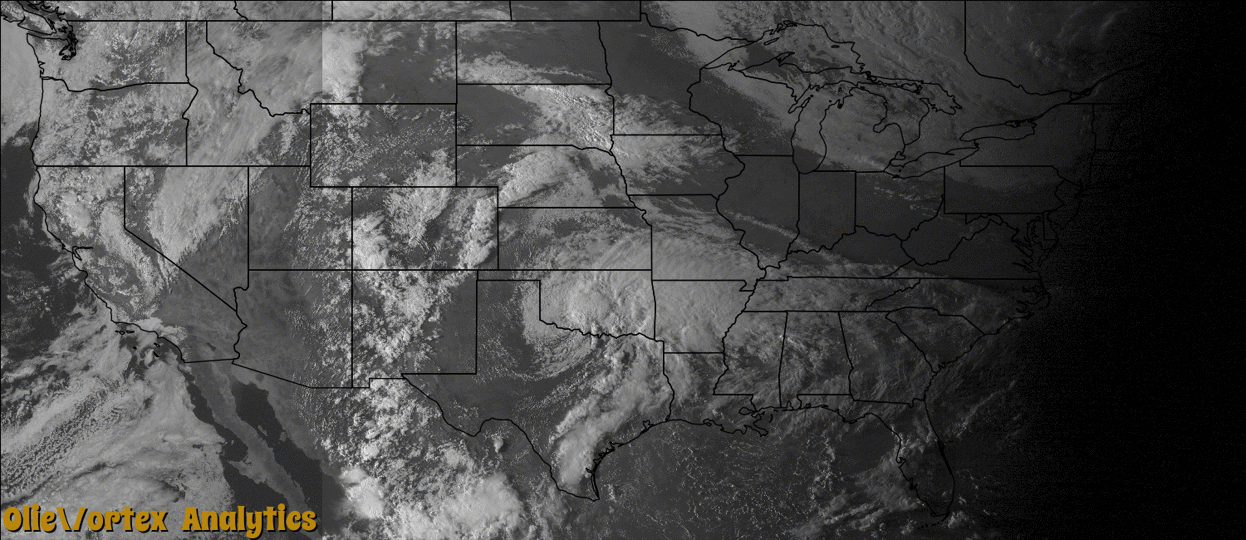
Tornado Reports
Sort by Time Sort by Rating Sort by State Sort by County| Time | Rating | Radar | State | County | Location | Narrative |
|---|---|---|---|---|---|---|
| 19:05Z | EF1 | KFWS | OK | Bryan | Colbert | A brief tornado damaged two homes and overturned two trucks on Highway 69. One of the drivers sustained minor injuries while in his truck. Fifteen steel transmission lines were also downed. At least 1000 people were without power due to the damage. Monetary damage estimates were not available. |
| 22:20Z | EF0 | KSRX | TX | Lamar | Novice | An EF0 tornado with maximum winds of 75 mph touched down in far northeastern Lamar County. The tornado touched down near FM 195 and CR 46650, and then moved due east, crossing FM 195. Tree damage was noted early in the track. Near the end of the track, the tornado damaged a few barns; causing them to lose part of their roofs. Near this same location, on CR 45600, a manufactured home was damaged and lost part of its roof. |
| 22:36Z | EF0 | KFWS | TX | Ellis | India | A tornadic supercell produced several tornado touchdowns from east of Ferris to Seagoville. The first touchdown occurred a few miles east of Ferris in open country and tracked to the northeast into Dallas County. |
| 22:37Z | EF1 | KFWS | TX | Dallas | Ferris | This tornado is a continuation from Ellis County. A tornadic supercell produced several tornado touchdowns from east of Ferris to Seagoville. The first touchdown occurred a few miles east of Ferris in open country. The tornado moved to the northeast into Dallas County where it remained in open country until it entered the city limits of Seagoville in southeast Dallas County. In Seagoville, three duplex buildings just east of HWY 175 near May Rd. suffered significant roof damage with almost complete loss of the roofs. Also, a single-family home to the northeast of the duplex buildings suffered significant roof damage. The winds estimated with this tornado at its peak intensity were 90 mph, and the total path length was over 9 miles long. |
| 22:55Z | EF0 | KGRK | TX | Falls | Perry | A storm chaser caught a brief tornado approximately two miles south of Riesel. The tornado was on the ground as it crossed HWY 6, but otherwise the tornado remained over open land and did not cause any damage. |
| 23:10Z | EF2 | KFWS | TX | Dallas | Eagle Ford | Minor roof damage on the order of EF0 damage was noted along much of the path of this tornado, but EF2 damage was observed near the intersection of Irving Blvd and Mockingbird Lane in west Dallas. Near the intersection, substantial damage occurred to a warehouse. An exterior wall of the warehouse collapsed causing part of the roof to collapse. In addition, a tractor trailer traveling on Mockingbird Lane in front of the warehouse was blown into the warehouse, and the driver sustained minor injuries. Additional stores in the industrial area near the intersection sustained roof damage and holes were ripped into some roofs. Local broadcast media recorded this tornado live as it moved north through the western portions of the city of Dallas. Maximum wind speeds were estimated to be 115 mph. |
| 23:20Z | EF0 | KFWS | TX | Rockwall | Heath | A tornado caused mainly roof damage to several brick homes on the southeast side of Lake Ray Hubbard near Heath. Another home had its chimney knocked over and some large tree damage also occurred along the path of this tornado. The winds were estimated to be between 85-95 mph. |
| 00:00Z | EF0 | KOUN | OK | Carter | Lone Grove | Photographic evidence and radar data suggests a tornado developed between Prairie Valley and Rolling Hills Roads. Two homes sustained minor damage. |
| 00:30Z | EF0 | KFWS | TX | Cooke | Lindsay | A trained spotter reported a tornado just north of Lindsay. No damage was reported. |
| 01:15Z | EF0 | KFWS | OK | Love | Marietta | A brief tornado occurred with no damage reported. |
Storm reports are derived from "The Storm Events Database" (National Centers for Environmental Information) and/or "Past Storm Reports" (Storm Prediction Center).