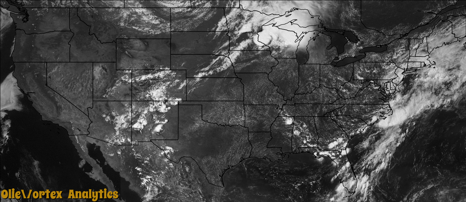
Tornado Reports
Sort by Time Sort by Rating Sort by State Sort by County| Time | Rating | Radar | State | County | Location | Narrative |
|---|---|---|---|---|---|---|
| 12:20Z | EF0 | KMPX | MN | Wadena | Oylen | This tornado mainly affected portions of Lyons State Forest. Several poplar trees were snapped or blown down across CR 26. A damage path was evident further back into the trees on both sides of the county road, but access to view additional damage away from the road was not possible due to poor road conditions and high water. Peak winds were estimated from 75 to 80 mph. |
| 15:54Z | EF1 | KMPX | WI | St. Croix | Hammond | Thirty homes sustained damage, including one with major damage. Dozens of trees were broken or snapped. |
| 19:20Z | EF0 | KMPX | MN | Dakota | Northfield | A National Weather Service Storm Survey Team determined an EF-0 Tornado occurred with a broken path length of approximately 3.5 miles. ||The tornado first touched down approximately three-quarters of a mile north of Interstate 35 and Highway 19 where a two ton truck was overturned on interstate 35. ||The tornado then lifted and touched down near the intersection of Jamaica Ave, and 320th Street where it tore down a street sign. The tornado then tracked east-northeast for approximately 2.5 miles across mainly farm fields before lifted near the intersection of Guam Ave, and County Road 90. ||The tornado caused minor damage to crops, along with several trees to be uprooted along its path. In addition, a small farm shed was damaged northeast of Jamaica Ave, and 320th Street. |
| 19:32Z | EF0 | KMPX | MN | Dakota | Waterford | A trained spotter confirmed (Photo of the tornado was taken at the site) that an EF-0 tornado briefly touched down near the intersection of Highway 3, and 313th Street, north of Northfield, Minnesota and caused minor tree damage. |
| 19:36Z | EF1 | KMPX | MN | Dakota | Waterford | A National Weather Service Storm Survey Team determined that an EF-1 tornado, with maximum winds of 95 mph, occurred along a broken 1.7 mile path length northwest of Northfield, Minnesota. ||The tornado first touched down approximately 3.9 miles northeast of Northfield, near the Junction of 313th Street and County Road 47 where a metal shed was blown off its foundation and flew over a farm home and landed approximately 100 yards away. There was some damage to the farm home, but most of the damage was associated with debris from uprooted trees and the metal shed. ||The tornado lifted approximately one-quarter of a mile east of the farm home and blew over a semi-truck on County Road 47. ||The tornado then touched down approximately three-quarters of a mile east of County Road 47 in a corn field, and tracked approximately one half mile east before lifting near the intersection of County Road 59, and Cannon River Road. The tornado caused damage to a farm home along this track, and blew a storage shed approximately 200 yards into the farmer's corn field. Other damage with the tornado track was associated with damaged corn fields and a small camper that was destroyed. |
| 19:54Z | EF2 | KMPX | WI | Pierce | Beldenville | Several barns and sheds were destroyed, and structural damage was noted at some homes. Many trees were broken or snapped. This tornado was accompanied by strong rear flank downdraft winds, which also knocked down trees and damaged some sheds. |
| 20:06Z | EF0 | KMPX | WI | Dunn | Downing Jct | About two dozen trees were broken or toppled. |
| 20:08Z | EF2 | KMPX | WI | Pierce | El Paso | Several sheds and outbuildings were destroyed, as were a couple of barns. Hundreds of trees were snapped. The tornado was accompanied by strong rear flank downdraft winds that also knocked down numerous trees. |
| 21:16Z | EF0 | KARX | WI | Jackson | North Branch | A National Weather Service survey team surveyed intermittent EF0 tree damage along Town House Road through the village of Merrillan to the Clark and Jackson County line. |
| 21:43Z | EF1 | KARX | WI | Clark | Lake Arbutus | A National Weather Service survey team surveyed intermittent EF1 tree damage beginning at the Jackson and Clark County line, then east along Ballard Road and County Road Z in extreme southern Clark County. The tornado was the strongest in the vicinity of Lake Arbutus where extensive tree damage was found on the north side of the lake near Bush Road. The tornado track appeared to be just north of this area with most of the damage caused by winds around the south side of the storm (rear flank downdrafts). |
| 22:18Z | EF0 | KARX | WI | Wood | Veedum | A brief tornado was reported by the public and confirmed by local emergency management about five miles west of Pittsville. A dozen trees were knocked down and several large tree limbs fell onto a house (DI 1, DOD 5). Wind speed was estimated at 80 mph. |
| 23:15Z | EF0 | KDLH | MN | Pine | Cloverdale | A tornado touched down briefly. |
Storm reports are derived from "The Storm Events Database" (National Centers for Environmental Information) and/or "Past Storm Reports" (Storm Prediction Center).