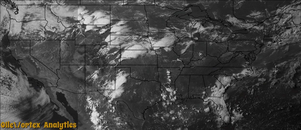
Tornado Reports
Sort by Time Sort by Rating Sort by State Sort by County| Time | Rating | Radar | State | County | Location | Narrative |
|---|---|---|---|---|---|---|
| 20:25Z | EF0 | KGLD | KS | Scott | Modoc | This tornado appeared to be rain wrapped from the vantage point of the law enforcement agency. |
| 20:43Z | EF0 | KGLD | KS | Scott | Modoc | This was a second landspout that developed in the area. |
| 21:55Z | EF0 | KJAX | FL | Putnam | Bridgeport | A waterspout developed over the St. Johns River north of Palatka and was spotted near Racy Point. The spout formed from a low level boundary collision between the east coast sea breeze and outflow from a severe storm moving northward from eastern Putnam County. There were sporadic reports of funnel clouds from U.S. Highway 17 then from State Road 207 around 5:55 pm however locations of the funnel cloud were given in various locations. There was no mesocyclone nor low level rotational signature on Doppler radar and environmental conditions were not favorable for mesocyclone tornadoes (i.e. no wind shear). There was no damage with the vortex and it never made landfall. |
| 22:24Z | EF2 | KBLX | MT | Yellowstone | Billings | Based on the observed damage, the tornado was classified as an EF-2 on the Enhanced Fujita Scale. Wind speeds within an EF-2 tornado range from 111-135 mph, and the associated damage observed at the Billings MetraPark and nearby businesses was consistent with this classification. The damage path was 120 yards wide with a length of about a half mile and on the ground an estimated 12 minutes.||The damage assessment and eyewitness accounts indicate that the tornado developed near the intersection of Lake Elmo Drive and Main Street in the Billings Heights at approximately 4:24 pm, with significant EF-2 damage to several nearby businesses. Damage included rooftops being blown off of three structures, windows blown out, power poles downed, business signs and billboards blown down along with several trees uprooted. The tornado appeared to weaken slightly as it progressed southeast across Alkali Creek. Limbs were broken off numerous trees in the vicinity of the creek. The tornadic circulation then appeared to have strengthened once again as it moved south over the Rimrock Auto Arena at Metrapark. EF-2 damage was again observed to the arena with much of the roof blown off along with other damage to the exterior of the building. Debris from the arena impacted other nearby businesses creating additional damage, mainly in the form of broken windows. Debris from the arena was reported landing as far away as a mile from the tornado touchdown. The tornado then dissipated over the arena around 4:36 pm.||The associated thunderstorm then moved northeast away from Billings. Numerous sightings of funnel clouds were reported as this storm moved east-northeast of Billings, however no additional tornado touchdowns were reported. |
| 22:26Z | EF0 | KCYS | WY | Platte | Chugwater | Estimated path width due to no storm survey being conducted. No damage was reported. |
| 23:20Z | EF0 | KCYS | WY | Converse | Bill | Estimated path length and width due to no storm survey being conducted. No damage was reported. |
| 23:57Z | EF0 | KUDX | SD | Pennington | Wall Muni Arpt | A weak tornado caused minor tree damage in a windbreak on the west side of Wall. Other trees were blown down across the north side of town and a travel trailer was blown over along Creighton Road on the east side of town. |
| 00:20Z | EF0 | KUEX | KS | Jewell | Esbon | Storm chaser reported a brief touchdown southeast of Esbon. |
| 00:50Z | EF2 | KUEX | NE | Nuckolls | Superior | The most significant damage was confined to the city limits of Superior. There was widespread tree damage, along with a warehouse building and several small buildings being destroyed and a number of snapped power poles. On the southeast edge of town, railroad cars were overturned. |
Storm reports are derived from "The Storm Events Database" (National Centers for Environmental Information) and/or "Past Storm Reports" (Storm Prediction Center).