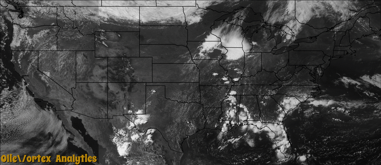
Tornado Reports
Sort by Time Sort by Rating Sort by State Sort by County| Time | Rating | Radar | State | County | Location | Narrative |
|---|---|---|---|---|---|---|
| 20:54Z | EF0 | KMLB | FL | Indian River | Vero Beach Airpark | A funnel cloud was reported near the intersection of Highway 60 and Interstate 95, west of Vero Beach by several individuals, including a County Sheriff, pilot, Vero Beach Weather Observer and the public. A storm chaser video-taped a brief tornado touchdown in association with the funnel cloud. Radar imagery indicated that the tornado was a landspout which formed as an outflow boundary from strong convection farther west intersected a newly developed storm to the east of the main convection. The tornado touched down in a rural area and no damage occurred. |
| 21:55Z | EF0 | KDMX | IA | Madison | St Charles | Brief tornado touchdown. |
Storm reports are derived from "The Storm Events Database" (National Centers for Environmental Information) and/or "Past Storm Reports" (Storm Prediction Center).