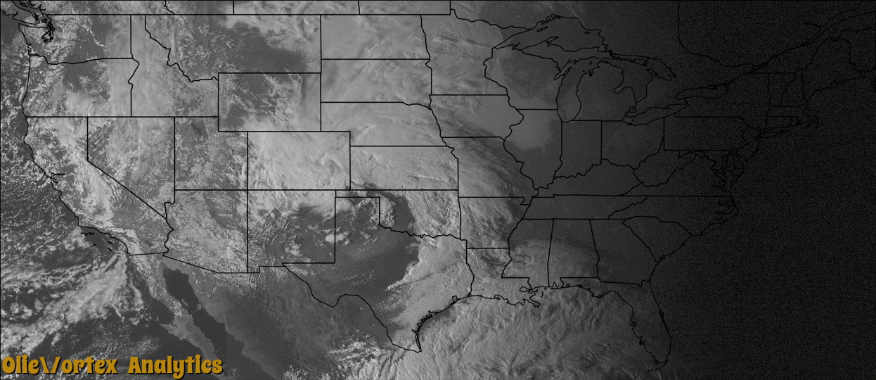
Tornado Reports
Sort by Time Sort by Rating Sort by State Sort by County| Time | Rating | Radar | State | County | Location | Narrative |
|---|---|---|---|---|---|---|
| 23:20Z | EF2 | KFDR | OK | Roger Mills | Hammon | A relatively long track tornado touched down in a rural area to the southwest of Hammon, and then tracked to the northeast towards the town of Hammon. This tornado was on the ground for around 40 minutes, moving mainly over rural areas. Initially, the only damage from the tornado was snapped trees and power poles/lines. As the tornado tracked northeast near the end of the tornado track, the tornado clipped the southeastern edge of the town of Hammon. A couple of trailers, the county barn, and a home sustained major damage. Other buildings, trees, power lines/poles, and cars also received significant damage near and around the town of Hammon. The tornado moved into Custer County and finally dissipated to the northeast of Hammon. Monetary damages were estimated. |
| 23:47Z | EF0 | KFDR | OK | Custer | Moorewood | After exiting Hammon and moving out of Roger Mills County, the tornado dissipated 3 miles northeast of Hammon in Custer County. No significant damage occurred in Custer County. |
| 00:16Z | EF0 | KFDR | OK | Custer | Butler | Video evidence suggested this tornado occurred after the tornado near Hammon dissipated. No damage occurred with this tornado. |
| 00:25Z | EF0 | KBBX | CA | Glenn | Chrome | A rancher observed a tornado passing along a road, over a pond and then through a barn. A storm survey was done at the site, with the tornado rated as an EF0. The main damage was the roof of the barn was peeled back. A small trailer also suffered minor damage. |
Storm reports are derived from "The Storm Events Database" (National Centers for Environmental Information) and/or "Past Storm Reports" (Storm Prediction Center).